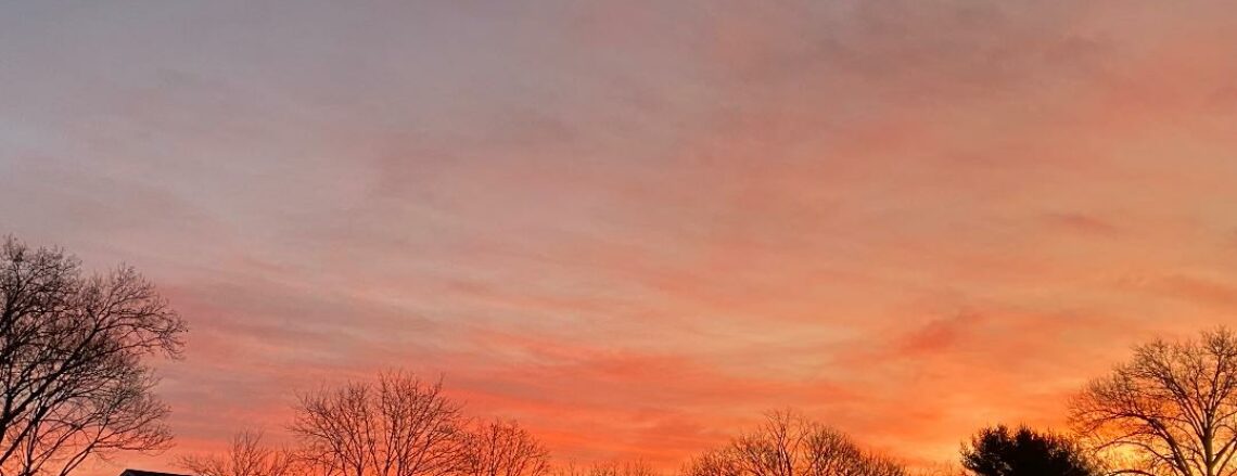
Good morning everyone!
Skies are cloudy early on this Sunday morning and there are some snow showers falling in parts of the area. Here in Clifton some light coating of snow accumulated on car tops and other colder surfaces. Temperatures at 5 a.m. range from 31 in Clifton down to 23 at High Point. Winds are mainly calm or light westerly.
CLIFTON’S ALMANAC FOR NOVEMBER 28TH:
AVERAGE HIGH: 50 AVERAGE LOW: 32
RECORD HIGH: 68 – 2011 RECORD LOW: 15 – 1996
YESTERDAY’S HIGH; 39 LOW: 32 PRECIPITATION: NONE
A weak disturbance will cause mostly cloudy skies today with a chance of some light snow or rain showers mainly this morning. High temperatures will be a couple of degrees higher than yesterday and with less wind it will not feel as harsh as yesterday.
Weak high pressure will cause dry and cool conditions Monday and Tuesday.
Wednesday will be slightly milder but a weak warm front will bring a chance of showers late Wednesday night into Thursday morning.
Thursday will be the mildest day of the week with highs in the 50s.
A bit cooler again Friday into the start of next weekend with mainly dry conditions.
THE FORECAST:
TODAY – NOV 28 – Mostly cloudy with a chance of snow or rain showers mainly this morning, high in the mid 40s.
TONIGHT – Becoming partly cloudy, low near 30.
MONDAY – NOV 29 – Mostly sunny and breezy, high in the low 40s.
TUESDAY – NOV 30 – Mostly cloudy in the morning then becoming partly sunny, high in the mid 40s.
WEDNESDAY – DEC 1 – Mostly sunny, high in the upper 40s, chance of showers after midnight.
THURSDAY – DEC 2 – Mostly cloudy and milder with a chance of morning showers, high in the mid 50s.
FRIDAY – DEC 3 – Mostly sunny, high near 50.
SATURDAY – DEC 4 – Partly sunny, high in the upper 40s.
MARINE FORECAST: TODAY – South-southwest winds to 10 knots, seas 1 foot.
OUTLOOK – A small craft advisory has been posted effective between midnight tonight through midnight Monday night; no advisories expected Tuesday morning; advisories possible late Tuesday; no advisories expected for Wednesday; possible advisories again on Thursday.
To all that celebrate have a Happy Hanukkah!