Cool weather this week with some rain on Tuesday!


At daybreak this morning we have clear skies, temperatures range from 50 degrees in Clifton to the 40s over most of the inland areas, there is a light northeast breeze.

Today we will have plenty of sunshine with continued cool temperatures with highs similar to what was observed yesterday topping off in the low 70s.

We will have increasing cloudiness tonight, temperatures will not be as chilly as this morning.

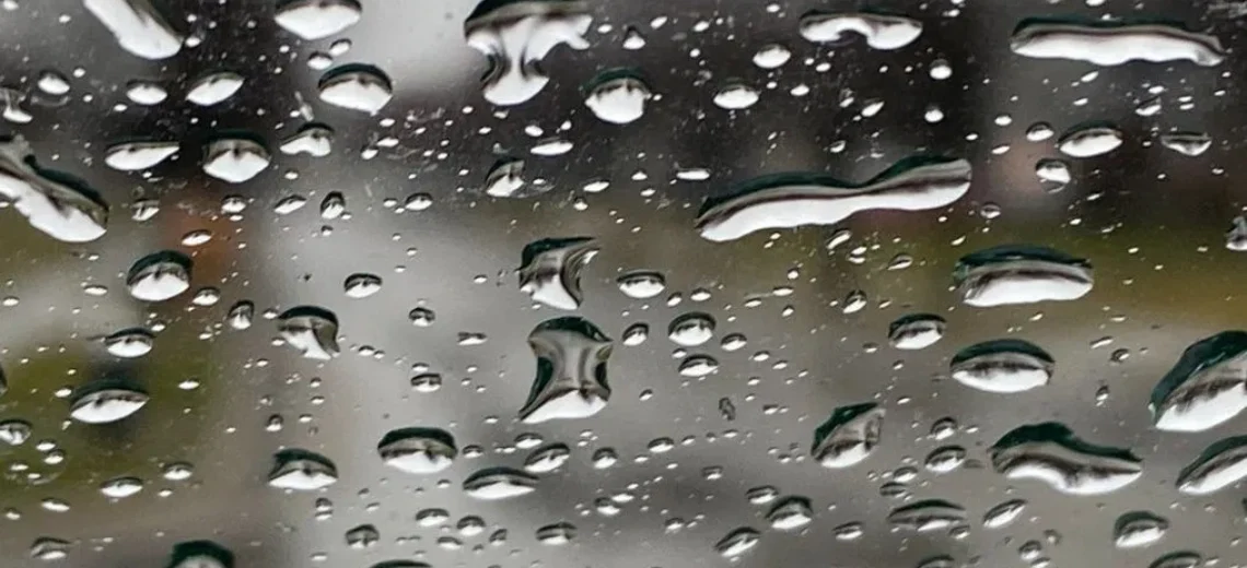
A disturbance will likely cause some rain on Tuesday falling mostly in the morning followed by clearing in the afternoon.  Rainfall amounts around 1/4 inch.

An extended period of dry weather Wednesday through the weekend, temperatures will mostly be below normal for this time of year warming up slightly by Sunday.


THE FORECAST:

TODAY – Sunny, high in the low 70s.

TONIGHT – Increasing cloudiness, low in the mid 50s.

TUESDAY – Mostly cloudy with rain likely mainly in the morning followed by clearing in the afternoon, high in the mid 70s.

WEDNESDAY – Sunny, high in the low 70s.

THURSDAY – Sunny, high in the mid 70s.

FRIDAY – Sunny, high near 70.

SATURDAY – Mostly sunny, high in the low 70s.

SUNDAY – Partly sunny, high in the upper 70s.


MARINE FORECAST:  TODAY – North-northwest winds to 9 knots, seas 1 foot.

OUTLOOK – Below advisory level conditions on Tuesday, advisories possible for high seas on Wednesday and Thursday and for winds on Friday.


Have a good day!

A sunny but cool Sunday!


We have clear skies at daybreak this morning and temperatures have fallen to 50 degrees in Clifton and the 40s further inland, these readings are the coolest since May.

High pressure will bring plenty of sunshine today but temperatures will be below normal for this time of year only reaching just above the 70 degree mark.

After another clear and cool morning, Monday will feature more sunny skies with temperatures a couple of degrees higher than today.

A fast moving disturbance will move into the area on Tuesday that should give us some showers mainly in the morning followed by clearing skies in the afternoon.

High pressure will be in control of the weather Wednesday through Friday with cool and dry conditions.


THE FORECAST:

TODAY – Sunny, high in the low 70s.

TONIGHT – Clear, low around 50.

MONDAY – Sunny, high in the mid 70s.

TUESDAY – Cloudy with a chance of showers in the morning followed by clearing in the afternoon, high in the low 70s.

WEDNESDAY – Sunny, high in the low 70s.

THURSDAY – Mostly sunny, high in the low 70s.

FRIDAY – Mostly sunny, high near 70.

SATURDAY – Mostly sunny, high in the low 70s.


MARINE FORECAST:  TODAY – North wind gusting to 13 knots, seas 2 feet.

OUTLOOK – Sub-advisory level conditions Monday and Tuesday with advisories possible over the open waters for high seas Wednesday and Thursday.


Have a good day!

Cool Saturday with some rain this afternoon and evening! Sunny and cool Sunday!


At daybreak this morning we have partly cloudy skies and cool temperatures with readings ranging from the mid 50s in the Clifton area to some upper 40s further inland.

Today skies will cloud up this morning with some mainly light rain developing this afternoon and continuing into this evening, expect about 1/4 inch of precipitation.

Sunday will be a pleasant fall like day with plenty of sunshine and continued cool temperatures.

A little warmer on Monday with sunshine.

Another disturbance will likely cause rain on Tuesday mostly falling in the morning.

Dry but cool weather Wednesday through the end of the workweek.


THE FORECAST:

TODAY – Becoming cloudy with light rain developing this afternoon, high near 70.

TONIGHT – Light rain likely this evening followed by gradual clearing, cool with lows in the low 50s.

SUNDAY – Sunny, high in the low 70s.

MONDAY – Sunny, high in the mid 70s.

TUESDAY – Rain likely mostly in the morning, high in the low 70s.

WEDNESDAY – Mostly sunny, high in the low 70s.

THURSDAY – Sunny, high near 70.

FRIDAY – Sunny, high near 70.


MARINE FORECAST:  TODAY – East wind to 16 knots, seas 3 feet.

OUTLOOK – Advisories possible on Sunday, below advisory level conditions Monday and Tuesday, advisories possible for high seas on Wednesday.


Have a good day!

Pleasantly mild day today! Cool on the weekend with rain likely on Saturday!


We have mostly clear skies this morning and temperatures have fallen into the upper 50s in the Clifton area, humidity has dropped with dew points in the low 50s and there is a northerly breeze.

Yesterday we had only a few drops of rain as the cold front came through dry last night.

Today we will have plenty of sunshine and it will pleasantly warm with highs in the upper 70s along with lower humidity.

A disturbance moving in from the west on Saturday will likely cause some light rain mostly tomorrow afternoon and evening.

Sunshine will return on Sunday along with cool temperatures.

After another nice and cool day on Monday the chances of rain return on Tuesday as another disturbance move through the area.

Dry and cool weather Wednesday and Thursday.


THE FORECAST:

TODAY – Sunny, high in the upper 70s.

TONIGHT – Increasing cloudiness, low in the mid 50s.

SATURDAY – Mostly cloudy with light rain likely mainly between 3-7pm, high in the low 70s.

SUNDAY – Mostly sunny, high in the low 70s.

MONDAY – Partly sunny, high in the mid 70s.

TUESDAY – Mostly cloudy with a chance of showers, high in the low 70s.

WEDNESDAY – Mostly sunny, high in the mid 70s.

THURSDAY – Mostly sunny, high in the mid 70s.


MARINE FORECAST:  TODAY – North-northeast winds to 16 knots diminishing this afternoon, seas 3 feet.

OUTLOOK – Sub-advisory  level conditions expected through early next week.


Have a good day!

A warm and humid Thursday with some showers!


At daybreak this morning we have cloudy skies along with a few drops of rain as an area of showers to our north are moving through, temperatures are in the mid 60s and the humidity is on the high side.

Today will be a warm and humid day with considerable cloudiness, a cold front will be approaching from the west which will cause shower and thunderstorm activity this afternoon and evening, some of these storms may be accompanied by some heavy downpours.

Clearing late tonight as high pressure builds into our area and Friday will be a very pleasant day with cooler temperatures and much less humidity along with plenty of sunshine.

The weekend will be cool and there is a chance of rain on Saturday followed by sunny weather on Sunday.

Seasonable temperatures early next week with highs in the 70s, there is a chance of light rain on Tuesday while Monday and Wednesday should be dry.


THE FORECAST:

TODAY – Mostly cloudy with showers and thunderstorms developing, humid, high in the mid 80s.

TONIGHT – Cloudy this evening with showers and thunderstorms till around midnight then gradual clearing, low in the low 60s.

FRIDAY – Sunny and less humid, high in the upper 70s.

SATURDAY – Mostly cloudy with a chance of light rain, high in the low 70s.

SUNDAY – Mostly sunny, high in the low-mid 70s.

MONDAY – Mostly sunny, high in the mid 70s.

TUESDAY – Partly sunny with a chance of light rain, high in the mid 70s.

WEDNESDAY – Sunny, high in the mid 70s.


MARINE FORECAST:  Small craft advisory in effect from 10am this morning till 6am on Friday for Southwest wind becoming northwest late tonight gusting to 25 knots, seas 4-5 feet.

OUTLOOK – Sub-advisory level conditions expected from late Friday through the weekend.


Let us never forget 9/11/2001!