SUNDAY OCTOBER 15, 2017 5:46 A.M.
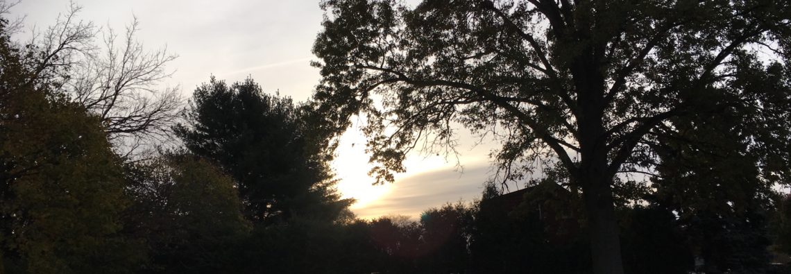
Skies are mostly cloudy early on this Sunday morning and we have unseasonably mild temperatures with readings ranging from the mid 60s in the Clifton area down to the upper 50s further inland, there is some patch fog in some areas.
Today will be a mostly cloudy and humid day as high pressure moves off the coast and a cold front approaches from the west, winds will become southwest and become gusty this afternoon, high temperatures will be well up into the 70s and if we get more sunshine the low 80s is within reach.
The cold front will cross the area early tomorrow morning with only a low chance of a shower, the front will be followed by much cooler but more seasonable temperatures with a gusty northwest wind. Temperatures by Tuesday morning will fall to the 30s in many areas along with some scattered frost.
Dry weather is expected much of this week, temperatures on Tuesday will be near or slightly below seasonable levels but then back to above normal readings Wednesday through the upcoming weekend.
THE FORECAST:
TODAY – OCT 15 – Cloudy with patchy fog and drizzle this morning then becoming mostly sunny and breezy, high near 80.
TONIGHT – Partly cloudy in the evening then becoming mostly cloudy with a chance of an shower, low in the mid 50s.
MONDAY – OCT 16 – Mostly sunny, breezy, cooler and less humid, high in the low 60s.
TUESDAY – OCT 17 – Sunny, high in the low 60s.
WEDNESDAY – OCT 18 – Sunny and milder, high in the low 70s.
THURSDAY – OCT 19 – Sunny, high in the low 70s.
FRIDAY – OCT 20 – Sunny, high in the mid 70s.
SATURDAY – OCT 21 – Sunny, high in the mid 70s.
MARINE FORECAST: A small craft advisory will be in effect from 2 p.m. this afternoon valid until 6 a.m. Tuesday morning. Today – Southwest wind to 25 knots, seas 3-6 feet.
OUTLOOK – No advisories expected Tuesday through Thursday.
Enjoy the rest of the weekend!
