Good morning!
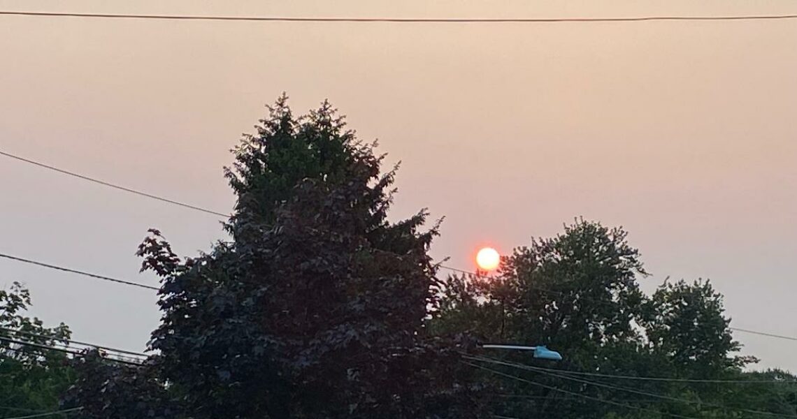
Skies are mostly cloudy early on this Wednesday morning and temperatures are about 15 degrees warmer than this time yesterday, with readings ranging from the low 60s in Clifton down to the low 50s further inland, winds are mainly calm. There may be some sprinkles in parts of the area but most places have remained dry.
Today a southwest flow of warmer and more humid air will dominate our weather, we may see some sprinkles this morning. Showers and thunderstorms are expected to develop this afternoon and continue into Thursday as a cold front moves through the area. Some clearing and becoming less humid by late Thursday afternoon.
Very nice late spring weather is expected Friday through the weekend with dry conditions and seasonably warm temperatures, the humidity levels will be low to moderate.
A frontal system may give us rain early next week with some heavy downpours possible.
THE FORECAST:
TODAY – JUNE 5 – Mostly cloudy with showers and thunderstorms likely this afternoon, high in the mid 80s.
TONIGHT – Mostly cloudy with showers and thunderstorms likely, muggy with lows in the upper 60s.
THURSDAY – JUNE 6 – Mostly cloudy with a chance of showers and thunderstorms, high in the mid 80s.
FRIDAY – JUNE 7 – Mostly sunny, high near 80.
SATURDAY – JUNE 8 – Sunny, high near 80.
SUNDAY – JUNE 9 – Mostly sunny, high near 80.
MONDAY – JUNE 10 – Partly sunny with a chance of showers and thunderstorms, high near 80.
TUESDAY – JUNE 11 – Mostly cloudy with a chance of showers and thunderstorms, high in the upper 70s.
MARINE FORECAST: A small craft advisory has been posted effective from 2 p.m. this afternoon until 4 p.m. Thursday afternoon for southwest winds gusting to 25 knots, seas 4-6 feet.
OUTLOOK – No advisories expected Thursday night through Sunday.
Have a nice day!