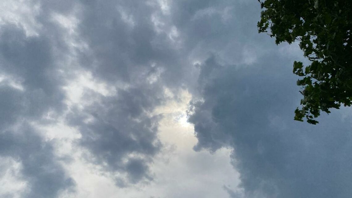
Sunshine returns today with milder temperatures! Warmer on Thursday! Cooler again on Friday!


WEDNESDAY  AUGUST 30, 2017  5:42 A.M.

Skies are mainly cloudy early on this Wednesday morning and temperatures range from around 60 in the Clifton area to the mid 50s further inland, winds are light.

The low pressure that gave us the rain and unseasonably cool temperatures yesterday has moved well out to sea as a weak high pressure builds into the area.  We will have clearing this morning and it will be a mostly sunny day, temperatures will be milder reaching the upper 70s which is still a little below normal for this time of year.

Thursday will be warm and mainly dry, a cold front will cross the area with only a slight chance of a shower in the afternoon.

Friday will be dry and quite cool once again.

The remnants of Harvey will likely give us mostly light rain Saturday afternoon into Sunday,  temperatures will be quite cool again on Saturday with warmer air moving into the area on Sunday.

Labor Day looks to be the best day of the holiday weekend with dry conditions and warm temperatures.

Tuesday will be seasonably warm but a cold front may give us showers at night.


THE FORECAST:

TODAY – AUG 30 –  Mostly sunny, high in the upper 70s.

TONIGHT – Mostly clear, low in the low 60s.

THURSDAY – AUG 31 – Mostly sunny, high in the low 80s.

FRIDAY – SEP 1 – Mostly sunny and cool, high only around 70.

SATURDAY – SEP 2 – Partly sunny with a chance of showers in the afternoon, high in the low 70s.

SUNDAY – SEP 3 – Mostly cloudy with a chance of showers, high near 80.

LABOR DAY – SEP 4 – Mostly sunny, high in the mid 80s.

TUESDAY – SEP 5 – Mostly sunny, high in the low 80s.


MARINE FORECAST:  Small craft advisory in effect till 6 a.m on Thursday.  Today – Northerly wind to 30 knots seas 6-10 feet,  winds and seas lower this afternoon.  Belmar’s water temperature is 74 degrees.  A high risk of dangerous rip currents today.

OUTLOOK – No advisories expected Thursday through Saturday.


Have a nice day!

Cloudy and unseasonably cool today with rain likely by this evening! Sunshine with milder temperatures on Wednesday!


TUESDAY  AUGUST 29, 2017  5:51 A.M.

Our area has cloudy skies early on this Tuesday morning and temperatures range from the low 60s in the Clifton area down to the mid 50s further inland, there is a northeast breeze.

A storm off the Carolina coast that may become tropical will move up the coast and then out to sea on Wednesday, rain from this system should move into the area tonight with coastal areas getting higher amounts while inland little or no rain is expected.  It will be unseasonably cool with most high temperatures in the upper 60s, there also will be a brisk onshore wind.

As the storm moves away we should see plenty of sunshine on Wednesday with milder temperatures.

Warmer on Thursday ahead of a cold front that will cross the area in the afternoon, only a slight chance of a shower is anticipated with the front.

Quite cool but dry on Friday.

After a very cool start with morning lows in the 40s on Saturday we then will become milder in the afternoon, however a frontal system may give us some rain Saturday night into Sunday.

Sunshine and warm weather for Labor Day.


THE FORECAST:

TODAY – AUG 29 – Cloudy and cool with a chance of rain after 2 p.m., high in the upper 60s.

TONIGHT – Rain likely before 1 a.m., low in the upper 50s.

WEDNESDAY – AUG 30 – Mostly cloudy in the morning then becoming mostly sunny and milder, high in the upper 70s.

THURSDAY – AUG 31 – Mostly sunny, high in the low 80s.

FRIDAY – SEP 1 – Sunny, high in the low 70s.

SATURDAY – SEP 2 – Mostly sunny, high in the mid 70s, chance of showers at night.

SUNDAY – SEP 3 – Partly sunny with a chance of showers, high near 80.

LABOR DAY – SEP 4 – Mostly sunny, high in the low 80s.


MARINE FORECAST:  Small craft advisory is in effect until 6 p.m. on Wednesday for east-northeast wind gusting to 30 knots, seas 9-12 feet.  There is a high chance of dangerous rip currents. Belmar’s ocean temperature is 74 degrees.

OUTLOOK – No advisories expected Thursday through Saturday.


TROPICS:  Harvey continuing to pound the Houston area with heavy rain again today.  The coastal storm off the east coast may become tropical in that case it will be named Irma.


Have a nice day!

Cool and dry weather to continue today! Cool on Tuesday with showers possible!


MONDAY  AUGUST 28,  2017  5:56 A.M.

Skies are partly cloudy early on this Monday morning and temperatures range from around 60 in the Clifton area to some upper 40s further inland winds are light.

High pressure moving off the New England coast will give us another dry day and it will be cool once again, we should see some increasing high cloudiness by evening.

It now appears that the coastal or tropical low pressure will become close enough to cause some light showers on Tuesday especially along coastal sections, it will be quite cool with a rather brisk onshore wind.

We dry out on Wednesday and it will not be as cool as on Tuesday.

Thursday looks at this time to be warm, but a cold front may touch off a shower.  Cool weather once again on Friday with mostly fair skies.

The Labor Day weekend looks to be mainly dry with a warming trend, Saturday will start off cool but temperatures should reach the 80s both on Sunday and again on Labor Day.


THE FORECAST:

TODAY – AUG 28 – Mostly sunny, high in the mid 70s.

TONIGHT – Mostly cloudy, low around 60.

TUESDAY – AUG 29 – Mostly cloudy with a chance of a shower mainly after 2 p.m., high only around 70.

WEDNESDAY – AUG 30 – Mostly sunny, high in the upper 70s.

THURSDAY – AUG 31 – Mostly sunny with a chance of a shower or thunderstorm in the afternoon, high in the low 80s.

FRIDAY – SEP 1 – Sunny, high in the low 70s.

SATURDAY – SEP 2 – Sunny, high in the upper 70s.

SUNDAY – SEP 3 – Mostly sunny, high in the low 80s.


MARINE FORECAST:  Small craft advisory in effect until 6 a.m. on Wednesday for easterly winds gusting to 25 knots, seas building to 8-12 feet. Belmar’s ocean temperature is 73 degrees.  There is a high risk of rip currents today.

OUTLOOK – Small craft advisories likely to continue on Wednesday; no advisories expected Thursday and Friday.


TROPICS:  Harvey continues to dump historic amounts of rain in the Houston area but today the heavy rain may shift slightly more easterly across the Texas upper coast and southeast Louisiana.


Have a nice day!

Another nice day to finish the weekend! Mainly dry this upcoming week with slightly below normal temperatures!


SUNDAY  AUGUST 27, 2017  5:43 A.M.

Skies are mostly clear early on this Sunday morning with cool temperatures once again ranging from the upper 50s in the Clifton area down to the upper 40s further inland, winds are light.

Today should be a carbon copy of yesterday’s weather with plenty of sunshine, cool temperatures and low humidity as high pressure extends to our area from Eastern Canada.

The high pressure will move off the New England coast with a more onshore flow of cool and dry air for Monday and Tuesday.  A low pressure should stay far enough to our south and east so we should stay rain free.

A little milder Wednesday and especially on Thursday.

A cold front will cross the area Thursday night with only a slight chance of a shower.  High pressure builds again builds in for Friday with cooler conditions.

The Labor Day weekend still looks to be dry with a slight warming trend.


THE FORECAST:

TODAY – AUG 27 – Sunny, high in the upper 70s.

TONIGHT – Partly cloudy, low in the upper 50s.

MONDAY – AUG 28 – Partly sunny, high in the mid 70s.

TUESDAY – AUG 29 – Mostly cloudy, high in the low 70s.

WEDNESDAY – AUG 30 – Partly sunny, high in the mid 70s.

THURSDAY – AUG 31 – Mostly sunny, high in the low 80s.

FRIDAY – SEP 1 – Mostly sunny, high in the mid 70s.

SATURDAY – SEP 2 – Sunny, high in the upper 70s.


MARINE FORECAST:  TODAY – Northeast wind to 9 knots, seas 1-2 feet.  Belmar’s ocean temperature is 73 degrees.

OUTLOOK – A small craft advisory has been posted from 4 p.m. this afternoon until 6 a.m. Tuesday morning; small craft conditions are expected to continue on Wednesday, no advisories expected for Thursday.


TROPICS:  Harvey has been downgraded to a tropical storm but is still dumping remarkable amounts of rain in the Houston area that should continue until Tuesday.


Enjoy this nice weather today!


Comfortably cool and dry weather to continue this weekend! Dry conditions most of next week!


SATURDAY  AUGUST 26, 2017  5:42 A.M.

Skies are mostly clear early on this Saturday morning and again it is cool with temperatures ranging from the upper 50s in the Clifton area down to the upper 40s well inland, winds are light.

High pressure will be in control of our weather this weekend giving the area mostly sunny days and mostly clear and cool nights, humidity will continue to be comfortable.

The high pressure will move off the New England coast on Monday with an onshore flow keeping temperatures cool.

We should stay dry Tuesday through the end of the week, the low pressure system we mentioned yesterday now appears will stay well offshore not to affect our area.  It will be still cool on Tuesday but slightly warmer and more humid Wednesday and Thursday.   A cold front will come through dry Thursday night followed by fair and cooler weather for Friday.

Looking ahead to the Labor Day weekend it now looks like it will still be dry with seasonably warm temperatures.


THE FORECAST:

TODAY – AUG 26 – Sunny, high in the upper 70s.

TONIGHT – Mostly clear, low in the upper 50s.

SUNDAY – AUG 27 – Sunny, high in the upper 70s.

MONDAY – AUG 28 – Mostly sunny, high in the mid 70s.

TUESDAY – AUG 29 – Mostly cloudy, high in the low 70s.

WEDNESDAY – AUG 30 – Partly sunny, high in the upper 70s.

THURSDAY – AUG 31 – Mostly sunny, high near 80.

FRIDAY – SEP 1 – Mostly sunny, high in the upper 70s.


MARINE FORECAST:  TODAY – North-northeast wind to 8 knots, seas 1 foot.  Belmar’s ocean temperature is 74 degrees.

OUTLOOK – Small craft conditions likely Sunday through Wednesday.


TROPICS:   Hurricane Harvey came onshore along the Texas coast last night as a category 4, which is the strongest hurricane to hit the U.S. mainland since 2004.  Harvey is expected to move very slowly and will dump copious amount of rain through at least the early part of next week.


Have a nice weekend!