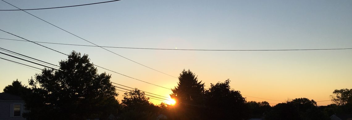
SATURDAY AUGUST 26, 2017 5:42 A.M.
Skies are mostly clear early on this Saturday morning and again it is cool with temperatures ranging from the upper 50s in the Clifton area down to the upper 40s well inland, winds are light.
High pressure will be in control of our weather this weekend giving the area mostly sunny days and mostly clear and cool nights, humidity will continue to be comfortable.
The high pressure will move off the New England coast on Monday with an onshore flow keeping temperatures cool.
We should stay dry Tuesday through the end of the week, the low pressure system we mentioned yesterday now appears will stay well offshore not to affect our area. It will be still cool on Tuesday but slightly warmer and more humid Wednesday and Thursday. A cold front will come through dry Thursday night followed by fair and cooler weather for Friday.
Looking ahead to the Labor Day weekend it now looks like it will still be dry with seasonably warm temperatures.
THE FORECAST:
TODAY – AUG 26 – Sunny, high in the upper 70s.
TONIGHT – Mostly clear, low in the upper 50s.
SUNDAY – AUG 27 – Sunny, high in the upper 70s.
MONDAY – AUG 28 – Mostly sunny, high in the mid 70s.
TUESDAY – AUG 29 – Mostly cloudy, high in the low 70s.
WEDNESDAY – AUG 30 – Partly sunny, high in the upper 70s.
THURSDAY – AUG 31 – Mostly sunny, high near 80.
FRIDAY – SEP 1 – Mostly sunny, high in the upper 70s.
MARINE FORECAST: TODAY – North-northeast wind to 8 knots, seas 1 foot. Belmar’s ocean temperature is 74 degrees.
OUTLOOK – Small craft conditions likely Sunday through Wednesday.
TROPICS: Hurricane Harvey came onshore along the Texas coast last night as a category 4, which is the strongest hurricane to hit the U.S. mainland since 2004. Harvey is expected to move very slowly and will dump copious amount of rain through at least the early part of next week.
Have a nice weekend!
