WEDNESDAY AUGUST 30, 2017 5:42 A.M.
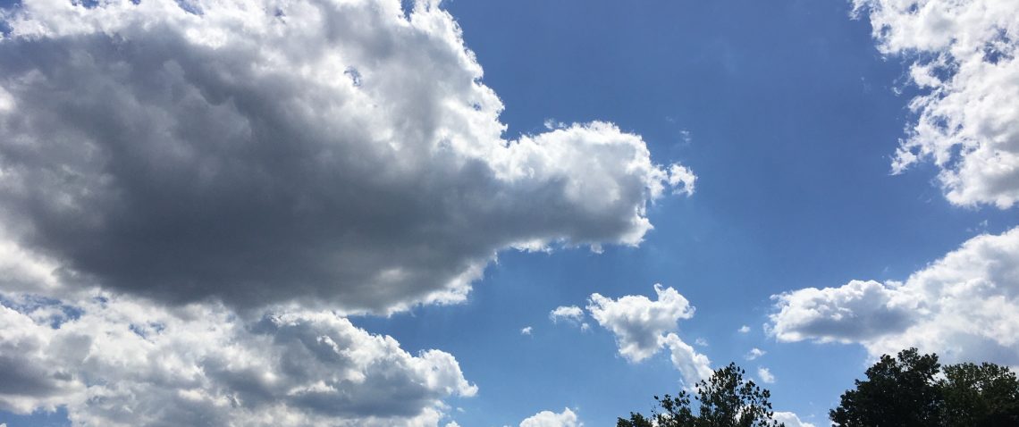
Skies are mainly cloudy early on this Wednesday morning and temperatures range from around 60 in the Clifton area to the mid 50s further inland, winds are light.
The low pressure that gave us the rain and unseasonably cool temperatures yesterday has moved well out to sea as a weak high pressure builds into the area. We will have clearing this morning and it will be a mostly sunny day, temperatures will be milder reaching the upper 70s which is still a little below normal for this time of year.
Thursday will be warm and mainly dry, a cold front will cross the area with only a slight chance of a shower in the afternoon.
Friday will be dry and quite cool once again.
The remnants of Harvey will likely give us mostly light rain Saturday afternoon into Sunday, temperatures will be quite cool again on Saturday with warmer air moving into the area on Sunday.
Labor Day looks to be the best day of the holiday weekend with dry conditions and warm temperatures.
Tuesday will be seasonably warm but a cold front may give us showers at night.
THE FORECAST:
TODAY – AUG 30 – Mostly sunny, high in the upper 70s.
TONIGHT – Mostly clear, low in the low 60s.
THURSDAY – AUG 31 – Mostly sunny, high in the low 80s.
FRIDAY – SEP 1 – Mostly sunny and cool, high only around 70.
SATURDAY – SEP 2 – Partly sunny with a chance of showers in the afternoon, high in the low 70s.
SUNDAY – SEP 3 – Mostly cloudy with a chance of showers, high near 80.
LABOR DAY – SEP 4 – Mostly sunny, high in the mid 80s.
TUESDAY – SEP 5 – Mostly sunny, high in the low 80s.
MARINE FORECAST: Small craft advisory in effect till 6 a.m on Thursday. Today – Northerly wind to 30 knots seas 6-10 feet, winds and seas lower this afternoon. Belmar’s water temperature is 74 degrees. A high risk of dangerous rip currents today.
OUTLOOK – No advisories expected Thursday through Saturday.
Have a nice day!
