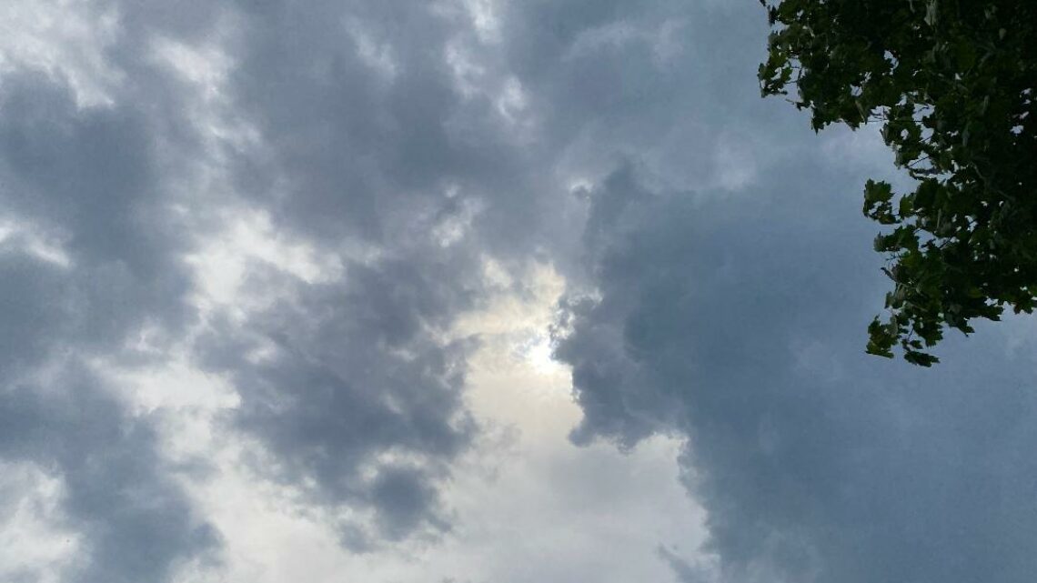
Mainly cloudy today and humid! Plenty of sunshine and quite warm on Wednesday!


TUESDAY  AUGUST 15, 2017  5:45 A.M.

Skies are cloudy early on this Tuesday morning and it is quite muggy, temperatures range from around 70 in the Clifton area down to the mid 60s further inland, winds are mainly calm.  There are some light showers in parts of the area but most places are dry.

Today we will have considerable cloudiness and it will be humid, there is another area of showers that should move just south and east of us later this morning into early this afternoon but our area should stay dry.

High pressure will cause more sunshine on Wednesday, temperatures will be quite warm but the humidity will be a little lower as high pressure builds into the area.

During the day on Thursday should be mostly dry but showers are likely to develop at night.

Showers are likely Friday into Saturday morning along with humid conditions.

Clearing on Sunday and becoming less humid.  Mostly clear weather is anticipated for the eclipse on Monday, about 70% of the sun will be obscured in our area in the afternoon.

Meanwhile Hurricane Gert will be moving well offshore but should bring higher seas to our area later today into Wednesday.


THE FORECAST:

TODAY – AUG 15 – Cloudy and humid, high near 80.

TONIGHT – Mostly cloudy in the evening then becoming mostly clear, low in the mid 60s.

WEDNESDAY – AUG 16 – Sunny, high near 90.

THURSDAY – AUG 17 – Sunny in the morning with increasing cloudiness in the afternoon, high in the low 80s, chance of showers and thunderstorms late at night.

FRIDAY – AUG 18 – Cloudy with showers and thunderstorms likely especially in the morning, humid, high in the mid 80s.

SATURDAY – AUG 19 – Mostly cloudy with a chance of showers and thunderstorms in the morning then becoming partly sunny in the afternoon, high in the upper 80s.

SUNDAY – AUG 20 – Mostly sunny, high in the mid 80s.

MONDAY – AUG 21 – Mostly sunny, high in the mid 80s.


MARINE FORECAST:  TODAY – Southeast wind to 8 knots, seas 1 foot.  Belmar’s ocean temperature is 74 degrees.

OUTLOOK – Small craft advisories possible for high seas from Hurricane Gert on Wednesday;  no advisories expected Thursday through Sunday.


Have a nice day!

Mostly sunny today with a slow increase in humidity! Warm and dry Tuesday and Wednesday! Showers possible Thursday through Saturday!


MONDAY  AUGUST 14,  2017  5:34 A.M.

We have mostly clear skies early on this Monday morning and temperatures range from the upper 60s in the Clifton area down to the mid 50s in some inland areas, winds are mainly calm.

Today we will have mostly sunny skies and with seasonably warm temperatures, humidity will slowly rise later in the day as high pressure moves offshore.

A weak front on Tuesday will cause more cloudiness with slightly lower temperatures than today, humidity will remain moderately high.

Wednesday looks to be the warmest day of the week with temperatures possibly reaching the 90 degree mark, humidity will be slightly lower.

Unsettled weather with a chance of showers Thursday through Saturday as weak fronts will be in the area, temperatures will be seasonably warm and humidity will be high especially on Friday.

At this time high pressure is expected to move into the area on Sunday with less humid air along with mostly sunny skies.


THE FORECAST:

TODAY – AUG 14 – Mostly sunny, high in the mid 80s.

TONIGHT – Mostly cloudy, low in the upper 60s.

TUESDAY – AUG 15 – Mostly cloudy, high in the mid 80s.

WEDNESDAY – AUG 16 – Sunny, high near 90.

THURSDAY – AUG 17 – Partly sunny with a chance of showers, high in the mid 80s.

FRIDAY – AUG 18 – Mostly cloudy with a chance of showers and thunderstorms, humid, high in the mid 80s.

SATURDAY – AUG 19 – Partly sunny with a chance of showers and thunderstorms, high in the mid 80s.

SUNDAY – AUG 20 – Mostly sunny, high in the mid 80s.


MARINE FORECAST:  TODAY – East-southeast wind to 8 knots, seas 2 feet.  Belmar’s ocean temperature is 73 degrees.

OUTLOOK – No advisories expected Tuesday through Friday.


Have a nice day!

Warm and sunny today with lower humidity! Warm and mainly dry Monday through Thursday!


SUNDAY  AUGUST 13, 2017  5:47 A.M.

Skies are mostly clear early on this Sunday morning and it is warm with temperatures ranging from around 70 in the Clifton area to the low 60s further inland, winds are mainly calm, the humidity is still on the high side.

Today high pressure will build into our area from the west providing the area with warm temperatures and gradually less humid air, skies will be mostly sunny.   Last year on this date the temperature rose to 98 degrees as we were in the middle of a five day heat wave.

Dry conditions with warm temperatures will continue Monday through the day on Thursday as high pressure will continue to dominate our weather.

A chance of showers Thursday night through Saturday as a couple of fronts will be in the area, temperatures will continue to be seasonably warm.


THE FORECAST:

TODAY – AUG 13 – Sunny and becoming less humid, high in the mid 80s.

TONIGHT – Mostly clear, low in the mid 60s.

MONDAY – AUG 14 – Mostly sunny, high in the mid 80s.

TUESDAY – AUG 15 – Partly sunny, high in the upper 80s.

WEDNESDAY – AUG 16  – Sunny, high in the upper 80s.

THURSDAY – AUG 17 – Mostly sunny, high in the mid 80s, chance of showers at night.

FRIDAY – AUG 18 – Partly sunny with a chance of showers, high in the mid 80s.

SATURDAY – AUG 19 – Mostly cloudy with a chance of showers, high in the low 80s.


MARINE FORECAST:  TODAY – West-northwest wind to 8 knots, seas 1 foot.  Belmar’s ocean temperature is 73 degrees.

OUTLOOK – No advisories expected Monday through Thursday.


Enjoy this nice summer weather!

Mostly cloudy today with scattered afternoon or evening showers! Beautiful weather for Sunday!


SATURDAY  AUGUST 12, 2017  5:56 A.M.

Skies are cloudy early on this Saturday morning and temperatures range from the mid 60s in the Clifton area down to around 60 further inland, winds are mainly calm.

Overnight showers have moved  offshore and most of today will remain dry, it will be mostly cloudy and as a cold front swings through the area there is a chance of an afternoon or evening shower or thunderstorm, it will also be humid with dew points near 70 degrees.

High pressure will give us a very nice summer day on Sunday with plenty of sunshine, seasonably warm temperatures and lower humidity.  This nice weather will continue on Monday.

A weak front may cause a shower on Tuesday followed by high pressure that will give the area more nice summer weather Wednesday and Thursday.

Another front may cause some scattered showers on Friday.


THE FORECAST:

TODAY – AUG 12 – Mostly cloudy and humid with a chance of afternoon showers and thunderstorms, high in the low 80s.

TONIGHT – Mostly cloudy, chance of evening showers and thunderstorms, low in the mid 60s.

SUNDAY – AUG 13 – Sunny and less humid, high in the mid 80s.

MONDAY – AUG 14 – Mostly sunny, high in the mid 80s.

TUESDAY – AUG 15 – Mostly cloudy with a chance of afternoon showers, high in the low 80s.

WEDNESDAY – AUG 16 – Sunny, high in the upper 80s.

THURSDAY – AUG 17 – Sunny, high in the mid 80s.

FRIDAY – AUG 18 – Mostly cloudy with a chance of showers, high in the mid 80s.


MARINE FORECAST:  TODAY – South-southwest wind to 10 knots, seas 1 foot.  Belmar’s ocean temperature is 73 degrees.

OUTLOOK – No advisories expected Sunday through Wednesday.


Have a nice weekend!


Mostly cloudy today! Showers tonight into Saturday! Excellent weather on Sunday!


FRIDAY  AUGUST 11, 2017  5:55 A.M.

Skies are mostly cloudy early on this Friday morning and temperatures range from the mid 60s in the Clifton area down to the upper 50s further inland, winds are mainly calm.

Today high pressure will be moving offshore as a couple of weak frontal systems approach the area, we should see mostly cloudy skies, temperatures will be a little cooler than on Thursday but the humidity will be higher.

Showers should develop late tonight and end Saturday morning but another round of scattered showers are possible in the afternoon and evening as a cold front crosses the area.

Sunday will be the best day of the weekend with plenty of sunshine, lower humidity and seasonably warm temperatures.

Nice weather should continue during the day on Monday but another weak front may cause some showers at night.

High pressure will then give us nice weather Tuesday through Thursday with seasonably warm temperatures.

Still no signs of any heat waves for this area for at least the next two weeks.


THE FORECAST:

TODAY – AUG 11 – Mostly cloudy, high in the low 80s.

TONIGHT – Cloudy with a chance of showers and thunderstorms after 8 p.m., low in the upper 60s.

SATURDAY – AUG 12 – Mostly cloudy with a chance of showers and thunderstorms, high near 80.

SUNDAY – AUG 13 – Mostly sunny, high in the low 80s.

MONDAY – AUG 14 – Mostly sunny, high in the low 80s, chance of showers at night.

TUESDAY – AUG 15  – Partly sunny, high in the low 80s.

WEDNESDAY – AUG 16 – Sunny, high in the mid 80s.

THURSDAY – Mostly sunny, high in the mid 80s.


MARINE FORECAST:  TODAY – South-southeast wind to 9 knots, seas 1 foot.  Belmar’s ocean temperature is 73 degrees.

OUTLOOK – No advisories expected Saturday through Monday.


Have a nice day!