Hot again today and Tuesday with a chance of thunderstorms this evening and on Tuesday afternoon! Cooler with a chance of rain on Thursday!


Skies are mostly clear early this morning and temperatures are a little warmer than this time yesterday ranging from the low 70s in the Clifton area to some upper 50s well inland, humidity is still not that bad with dew points near 60.

Today we will have plenty of sunshine with temperatures reaching the low 90s,  the humidity will be moderate with dew points in the mid 60s, it will become breezy later this afternoon and there is a chance of thunderstorms this evening as a weak cold front moves through.

Tomorrow will be hot again with lower humidity levels by late in the day, there is also still a low chance of an afternoon thunderstorm.

Plenty of sunshine on Wednesday with slightly cooler temperatures and lower humidity.

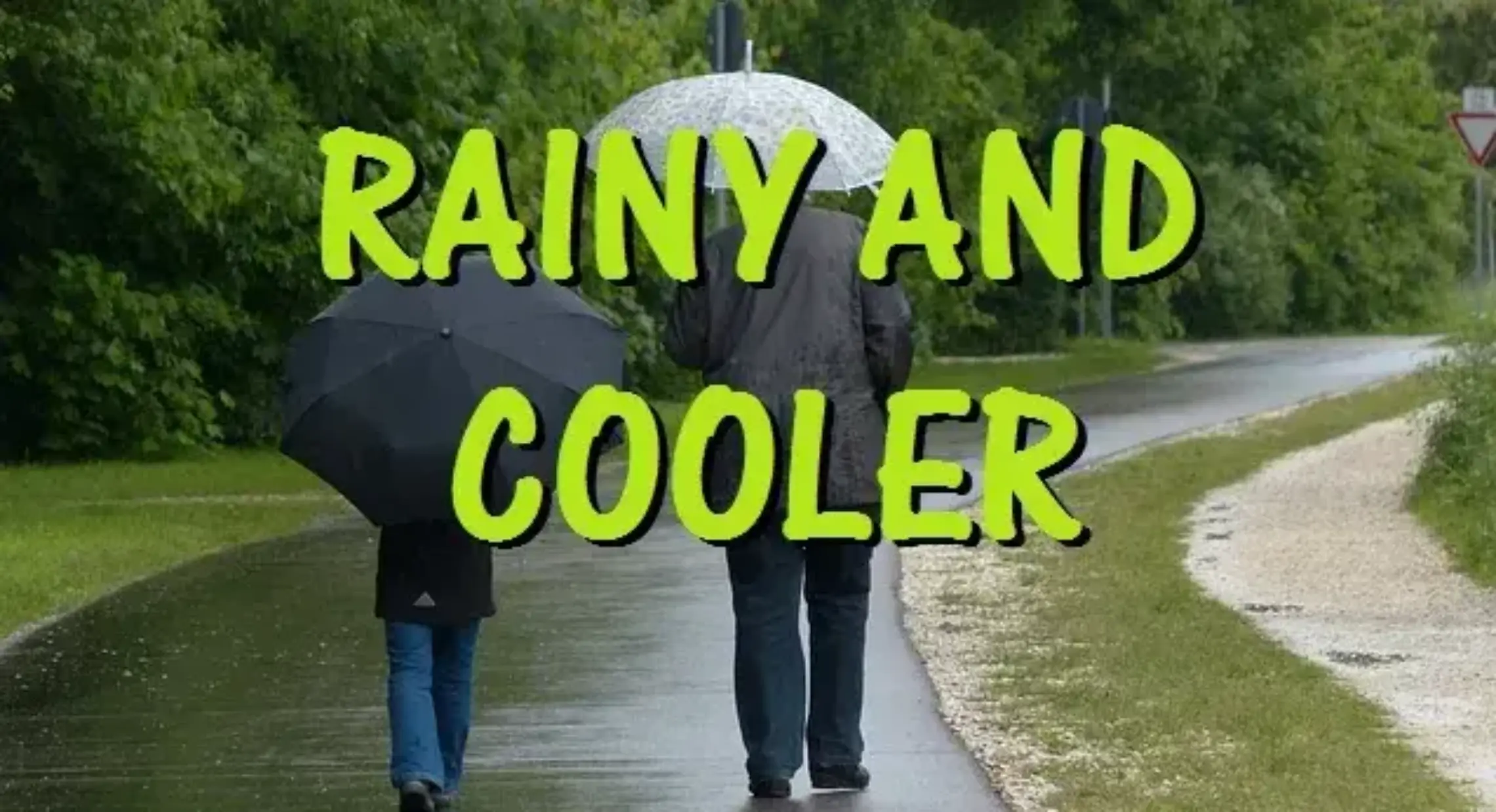
Cooler towards the end of the week with a chance of rain as a low pressure moves along the front just to our south.

The weekend at this point looks to be dry with temperatures a little below normal.


THE FORECAST:

TODAY – Sunny and becoming breezy, high in the low 90s.

TONIGHT – Partly cloudy with a chance of showers and thunderstorms, low around 70.

TUESDAY – Mostly sunny with a chance of an afternoon shower and thunderstorm, high in the low 90s.

WEDNESDAY – Mostly sunny, high in the upper 80s.

THURSDAY – Partly sunny with a chance of showers and thunderstorms, high around 80.

FRIDAY – Partly sunny with a chance of showers and thunderstorms, high around 80.

SATURDAY – Partly sunny, high near 80.

SUNDAY – Partly sunny, high in the low 80s.


MARINE FORECAST:  Southerly winds to 18 knots seas 2-3 feet.  A small craft advisory will be in effect from 4 p.m. this afternoon till 10 a.m. on Tuesday.  Water temperatures are in the mid 70s.

OUTLOOK – No advisories expected on Wednesday but near small craft advisory conditions Thursday and Friday.


Have a good day!

Another great summer day to finish the weekend! Hot and humid on Monday with thunderstorms possible!


Skies are mostly clear early this Sunday morning and temperatures range from the mid 60s in the Clifton area to some mid 50s further inland, winds are light and we have comfortable humidity with dew points in the 50s.

Today will be another warm and dry summer day with plenty of sunshine and although the temperatures may approach the 90 degree mark the humidity will remain low.

Hot and more humid on Monday with a chance of thunderstorms in the afternoon and evening.

Tuesday and Wednesday will mainly be dry with quite warm temperatures but the humidity will be a little lower.

Finally a change in the very warm pattern of the last several days toward the end of the week with cooler temperatures along with chances of rain on Thursday and again on Saturday.


THE FORECAST:

TODAY – Sunny, high near 90.

TONIGHT – Mostly clear, low in the upper 60s.

MONDAY – Mostly sunny, hot and humid with a chance of afternoon and evening showers and thunderstorms, high in the low 90s.

TUESDAY – Mostly sunny, hot but less humid, high in the low 90s.

WEDNESDAY – Mostly sunny, high in the upper 80s.

THURSDAY – Partly sunny with a chance of showers and thunderstorms, cooler with a high near 80.

FRIDAY – Partly sunny, high near 80.

SATURDAY – Partly sunny with a chance of showers and thunderstorms, high near 80.


MARINE FORECAST:   TODAY – South-southeast wind to 8 knots, seas 2 feet.  Water temperatures are in the low to mid 70s.

OUTLOOK – Small craft advisories possible on Monday and Tuesday with no advisories expected Wednesday and Thursday.

JULY 2015 CLIMATE SUMMARY:   July averaged about 2 degrees above normal, warmer than last July but not as warm as the very hot Julys we experienced from 2010-2013.  Precipitation in Clifton was below normal with only a little over 2 1/2 inches falling although some places in the area had more in localized thunderstorms.


Have a good day!

Fantastic weather again for this weekend!


Skies are mostly clear early on this Saturday morning, temperatures are ranging from the low 70s here in Clifton to the low 60s further inland, winds are light and the humidity is still rather comfortable as dew points are around 60 degrees.

Today we will have plenty of sunshine with again hot temperatures as readings reach the low 90s but with dew points around 60 it should be another comfortable summer day, there is a slight chance of a shower later this afternoon but most if not all areas will remain dry.

Another nice summer day on Sunday again with plenty of sunshine, temperatures may be a couple of degrees lower and we should still have comfortable humidity.

Hot again on Monday with slightly more humidity and as a cold front approaches the area, this front will give us a chance of some showers in the evening.

Mostly sunny and quite warm conditions with comfortable humidity both Tuesday and Wednesday.

Cooler weather toward the end of the week with a chance of some widespread rain on Thursday.


THE FORECAST:

TODAY – Mostly sunny, high in the low 90s.

TONIGHT – Mostly clear, low in the mid 60s.

SUNDAY – Sunny, high near 90.

MONDAY – Mostly sunny and more humid, high in the low 90s,  chance of showers and thunderstorms in the evening.

TUESDAY – Mostly sunny and less humid, high near 90.

WEDNESDAY – Mostly sunny, high in the upper 80s.

THURSDAY – Partly sunny with a chance of showers and thunderstorms, cooler with highs in the low 80s.

FRIDAY – Mostly sunny, high in the low 80s.


MARINE FORECAST:   TODAY – Southwest winds to 11 knots, seas 2 feet.  Water temperatures are in the low-mid 70s.

OUTLOOK – No advisories expected through Wednesday.


Have a good day!

Hot but much less humid air through the weekend!


Skies are clear early this Friday morning and temperatures are range from the upper 60s here in Clifton to the low 60s further inland and the winds are light.  The humidity has fallen with dew points mainly in the low 60s which is a far cry from the steamy upper 70 dew points we had yesterday afternoon.

Today will enjoy plenty of sunshine with continued low humidity, it will still be hot with highs in the low 90s.

A mainly dry weekend is in store with quite warm to hot weather but the humidity will again not be oppressive.

Hot weather early next week with humidity gradually increasing.  A cold front will cross the area on Tuesday giving us a low chance of showers followed by somewhat cooler and drier air for the rest of the week.  No widespread rain is expected for the next several days.


THE FORECAST:

TODAY – Sunny and less humid, high in the low 90s.

TONIGHT – Mostly clear, low around 70.

SATURDAY – Mostly sunny, high in the low 90s.

SUNDAY – Mostly sunny, high in the low 90s.

MONDAY – Mostly sunny, high in the mid 90s.

TUESDAY – Mostly sunny, high in the low 90s.

WEDNESDAY – Mostly sunny, high in the upper 80s.

THURSDAY – Partly sunny with a chance of showers, high in the mid 80s.


MARINE FORECAST:  TODAY – Northwest wind to 10 knots, seas 2 feet.   Water temperatures are in the mid 70s.

OUTLOOK – No advisories expected through Tuesday.


Have a good day!

Very warm and humid with thunderstorms likely today! Less humid but still quite warm tomorrow through the weekend!


Skies are partly cloudy early this Thursday morning and temperatures are warm again with readings ranging from the mid 70s here in Clifton to the upper 60s further inland, the humidity is higher than the last few days as dew points have risen to the steamy low 70s.

Today we will see an increase of clouds as a cold front approaches the area, thunderstorms are likely this afternoon and evening which may produce very heavy rain and strong gusty winds, with the clouds temperatures will be lower than yesterday but the humidity will be higher.  The cold front will cross the area with thunderstorms ending by midnight followed by clearing and less humid air.

Friday through the weekend will be hot with plenty of sunshine but with more comfortable humidity.

Continued above normal temperatures through the middle of next week with the best chance of shower activity will be on Tuesday.  Humidity will be a little higher Monday and Tuesday and then fall to more comfortable levels on Wednesday.


THE FORECAST:

TODAY – Increasing cloudiness with showers and thunderstorms  likely developing mainly after 2 p.m., some of these storms will contain heavy rain and strong gusty winds, quite humid with a high near 90.

TONIGHT – Mostly cloudy with showers and thunderstorms likely before midnight, clearing and less humid after midnight, low around 70.

FRIDAY – Sunny and hot but less humid, high in the low 90s.

SATURDAY – Mostly sunny, high in the low 90s.

SUNDAY – Mostly sunny, high in the low 90s.

MONDAY – Mostly sunny, high in the low 90s.

TUESDAY – Mostly sunny with a chance of showers and thunderstorms, high in the low 90s.

WEDNESDAY – Mostly sunny, high near 90.


MARINE FORECAST:  TODAY – South-southwest winds to 14 knots, seas 2 feet.  Water temperatures are in the mid 70s.

OUTLOOK – No advisories expected through Monday.


Have a good day!