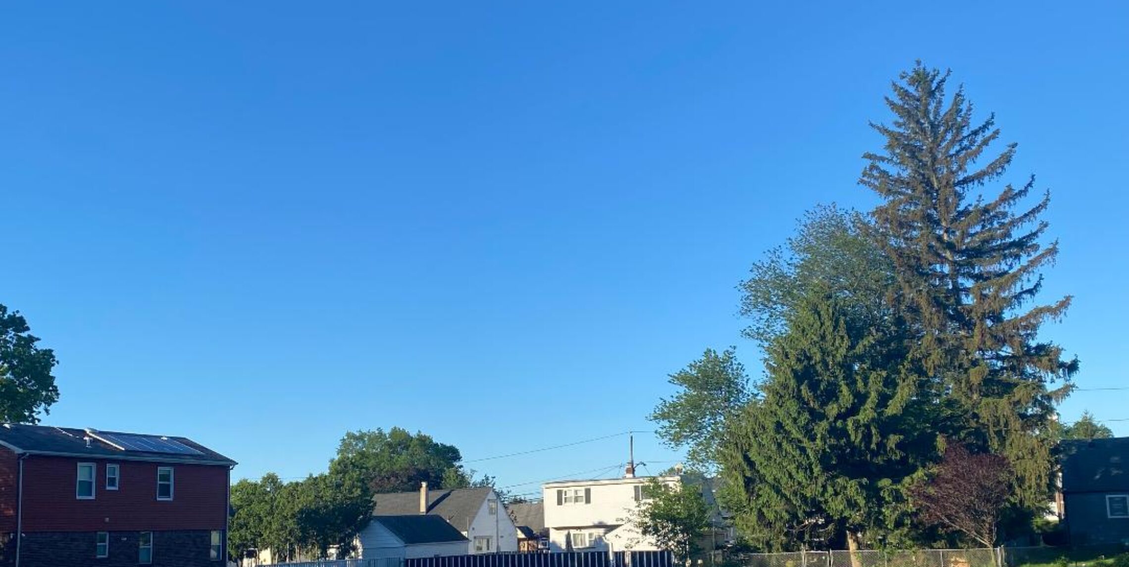
Partly sunny and milder today! Dry most of Tuesday but rain at night! Periods of rain continuing Wednesday into Friday! Low chance of a shower on Saturday then dry on Sunday!


Good morning everyone!

Skies are mostly clear early on this Monday morning and temperatures at 5 a.m. range from 38 in Clifton down to 31 at High Point. Winds are a little gusty out of the northwest.

CLIFTON’S ALMANAC FOR APRIL 4TH:

AVERAGE HIGH: 56 AVERAGE LOW: 38

RECORD HIGH: 79 – 1974 RECORD LOW: 25 – 1995

YESTERDAY’S HIGH: 46 LOW: 39 PRECIPITATION: .11″

After a chilly damp day with even some snow in the higher elevations across the northwest part of the state today will be a dry and milder day. Gusty winds this morning will slowly diminish this afternoon. Weak high pressure will dominate our weather today. Skies will start off mostly clear but we should have some increase in clouds this afternoon.

Most of Tuesday will be dry but the first in a series of low pressure will give us rain Tuesday night into Wednesday.

After a brief break in the rain Wednesday night into Thursday morning another low pressure will move into our area causing more rain Thursday afternoon through early Friday morning.

Friday and Saturday look mainly dry but there still will be a chance of showers both days as an upper level trough will be over our area.

Sunday looks to be dry. Temperatures Tuesday through the weekend will be near seasonable levels with Friday being our mildest day.

A significant change in the pattern should give us well above normal temperatures much of next week.

THE FORECAST:

TODAY – APR 4 – Increasing cloudiness, high in the mid 50s.

TONIGHT – Mostly cloudy, low near 40.

TUESDAY – APR 5 – Mostly cloudy, high in the mid 50s, rain mainly after 9 p.m.

WEDNESDAY – APR 6 – Cloudy with rain mainly before 3 p.m. high in the mid 50s.

THURSDAY – APR 7 – Cloudy with rain mainly after 8 a.m., high in the mid 50s.

FRIDAY – APR 8 – Partly sunny with a chance of showers, high in the low 60s.

SATURDAY – APR 9 – Partly sunny with still a chance of a shower, high near 60.

SUNDAY – APR 10 – Mostly sunny, high in the mid 50s.

MARINE FORECAST: TODAY – Northwest winds gusting to 15 knots and diminishing this afternoon, seas 1-2 feet.

OUTLOOK – Advisories likely Tuesday night through Friday.

Have a nice day and stay safe!

Cloudy and little cooler today with light rain! Dry weather with near seasonable temperatures Monday through Tuesday afternoon! Periods of rain Tuesday night through the day on Friday!


Good morning everyone!

Skies are cloudy early on this Sunday morning and temperatures at 5 a.m. range from 39 in Clifton down to 32 at Sandyston. Winds are calm or light southwesterly.

CLIFTON’S ALMANAC FOR APRIL 3RD:

AVERAGE HIGH: 56 AVERAGE LOW: 37

RECORD HIGH: 78 – 1981 RECORD LOW: 25 – 2008

YESTERDAY’S HIGH: 56 LOW: 37 PRECIPITATION: NONE

A weak low pressure will give us some light rain mainly from 8 a.m. till 4 p.m. With the clouds and precipitation, high temperatures will be slightly lower than yesterday with highs near 50.

Weak high pressure will give us rather nice weather Monday into the first half of Tuesday, temperatures will be close to normal.

A couple of low pressure systems will affect our weather Tuesday night through Friday and the best chances of heavier rain will be on Wednesday and again Thursday afternoon and night. Total rainfall with these systems will be around 2-3 inches.

Fair weather with near normal tempertures can be expected to start next weekend.

THE FORECAST:

TODAY – APR 3 – Cloudy with light rain mainly from 8 a.m. until 4 p.m., high near 50.

TONIGHT – Mostly cloudy with a low chance of an evening showers, low in the upper 30s.

MONDAY – APR 4 – Mostly sunny, high in the upper 50s.

TUESDAY – APR 5 – Mostly cloudy, high in the upper 50s, rain likely after 8 p.m.

WEDNESDAY – APR 6 – Cloudy with rain, high in the mid 50s.

THURSDAY – APR 7 – Mostly cloudy with rain likely, high in the mid 50s.

FRIDAY – APR 8 – Partly sunny with a chance of a showers, high in the low 60s.

SATURDAY – APR 9 – Mostly sunny, high near 60.

MARINE FORECAST: TODAY – South-southeast winds to 10 knots, seas 2 feet.

OUTLOOK – A small craft advisory has been posted effective between 6 p.m. tonight through 6 a.m. Monday morning; no advisories expected the rest of Monday through the day on Tuesday; possible advisories Tuesday night; advisories expected Wednesday and Thursday.

Despite the rain try to have a nice and safe day!

Becoming mostly sunny with diminishing winds and seasonable temperatures today! Light rain during the day on Sunday! Dry with near seasonable temperatures continuing Monday and Tuesday! Periods of rain likely Wednesday through Friday!


Good morning everyone!

Skies are mostly cloudy early on this Saturday morning and temperatures at 5 a.m. range from 38 in Clifton down to 29 at High Point. Winds are gusty out of the northwest.

CLIFTON’S ALMANAC FOR APRIL 2ND!

AVERAGE HIGH: 56 AVERAGE LOW: 37

RECORD HIGH: 70 – 2010 RECORD LOW: 26 – 2021

YESTERDAY’S HIGH: 61 LOW: 42 PRECIPITATION: .38″

Note: On this date in 2018 we received 6.5 inches of snow!

High pressure will build into the area today and we should see mostly sunny skies after early morning clouds. Winds will diminish this afternoon and it should be a quite pleasant early spring day.

A weak low pressure area will cause mainly light rain mainly from around 8 a.m. till 4 p.m. High tempertures will be slightly lower than today. Rainfall amounts should be around 1/4″

Monday and Tuesday will be dry with near seasonable temperatures.

Several areas of low pressure will give us unsettled weather Wednesday through Friday with rain that may be heavy at times. Total rainfall should be around 2-3″

THE FORECAST:

TODAY – APR 2 – Becoming sunny with diminishing winds, high in the mid 50s.

TONIGHT – Increasing cloudiness, low near 40.

SUNDAY – APR 3 – Cloudy with light rain mainly between 8 a.m. till 4 p.m., high in the low 50s.

MONDAY – APR 4 – Mostly sunny, high in the upper 50s.

TUESDAY – APR 5 – Partly sunny, high near 60.

WEDNESDAY – APR 6 – Cloudy with showers likely, high in the mid 50s.

THURSDAY – APR 7 – Mostly cloudy with showers likely, high in the mid 50s.

FRIDAY – APR 8 – Mostly cloudy with a chance of showers, high near 60.

MARINE FORECAST: TODAY – West-northwest winds to 15 knots, diminishing this afternoon, seas 2-3 feet.

OUTLOOK – No advisories expected Sunday morning; advisories likely Sunday afternoon; no advisories expected Sunday night through Tuesday night; advisories expected on Wednesday.

CLIFTON’S CLIMATE SUMMARY FOR MARCH 2022.

Despite the very cold weather at the end of this month, March actually averaged above normal with an average temperature of 43.7 degrees. The highest temperature was 76 degrees on the 18th with the lowest temperature was 17 on the 4th.

Precipitation was below normal with 2.56″

Snowfall was also below normal with 3.5″ accumulated.

Have a nice weekend and stay safe!

Mostly cloudy, breezy and cooler with a chance of showers today! Sunny with near seasonable temperatures on Saturday! Light rain likely on Sunday! Dry Monday through the day on Tuesday! Showers likely Tuesday night through Thursday!


Good morning everyone and Happy April!

Skies are cloudy early on this Friday morning and there are still some showers in parts of the area. It continues to be unseasonably mild with temperatures at 5 a.m. ranging from 56 in Clifton down to 45 at High Point. Winds are calm or light westerly!

CLIFTON’S ALMANAC FOR APRIL 1ST:

AVERAGE HIGH: 55 AVERAGE LOW: 37

RECORD HIGH: 80 – 2016 RECORD LOW: 24 – 2003

YESTERDAY’S HIGH: 71 LOW: 40 PRECIPITATION: .25″

The cold front that gave us the showers and thunderstorms overnight is now moving through the area and will be off the coast this morning. There will still be a chance of showers during the day and some small hail is possible in the showers. Temperatures will not rise much from our current readings with highs in the upper 50s to near 60. Winds will be gusty at times.

Saturday is shaping up to be a nice early spring day with plenty of sunshine and near seasonable temperatures.

A weak low pressure area will likely give us some light rain on Sunday with slightly cooler temperatures.

Mainly dry weather Monday through the day on Tuesday as high pressure dominates our weather. Near seasonable temperatures can be expected.

A complex low pressure will likely give us some rain Tuesday night through Thursday, temperatures will continue to be near seasonable levels. Most of the rain will be light.

THE FORECAST:

TODAY – APR 1 – Mostly cloudy with a chance of showers, some showers this afternoon may have some small hail, breezy, high in the upper 50s.

TONIGHT – Chance of an evening shower then clearing, low in the mid 30s.

SATURDAY – APR 2 – Sunny, high in the upper 50s.

SUNDAY – APR 3 – Cloudy with showers likely, high in the low 50s.

MONDAY – APR 4 – Mostly sunny, high in the upper 50s.

TUESDAY – APR 5 – Partly sunny, high in the upper 50s, chance of rain late at night.

WEDNESDAY – APR 6 – Cloudy with light rain likely, high in the upper 50s.

THURSDAY – APR 7 – Mostly cloudy with light rain likely, high again in the upper 50s.

MARINE FORECAST: A small craft advisory is in effect until 6 p.m. this evening for westerly winds gusting to 30 knots, seas 6 – 9 feet.

OUTLOOK – A gale warning has been issued valid between 6 p.m. this evening until 2 a.m. Saturday morning; no advisories likely Saturday through Tuesday.

Have a nice day and stay safe!

Mostly cloudy, windy and much milder today with a chance of shower late in the afternoon! Showers with a chance of strong thunderstorms tonight! Mainly dry on Friday but still with a chance of a shower! Seasonable temperatures for the weekend, dry on Saturday, showers possible on Sunday!


Good morning everyone!

Skies are cloudy early on this Thursday morning and temperatures are nearly 20 degrees milder than this time yesterday as readings at 5 a.m. range from 42 in Clifton down to 36 at Wantage, winds are mainly calm.

CLIFTON’S ALMANAC FOR MARCH 31ST:

AVERAGE HIGH: 55 AVERAGE LOW: 35

RECORD HIGH: 85 – 1998 RECORD LOW: 20 – 1991

YESTERDAY’S HIGH: 47 LOW 25 PRECIPITATION: NONE

Today will be mostly cloudy as a warm front moves to our north. Gusty southerly winds will help temperatures rise well up to the 60s to near 70 degrees. It will be mainly dry but can’t rule out a scattered shower this afternoon.

A cold front will approach and cross the area tonight producing showers along with a chance of some strong to severe thunderstorms with the best chance of these storms being between 8-10 P.M.

Friday will be mainly dry and cooler but a trough of low pressure may touch off a shower.

Near seasonable temperatures for the weekend, Saturday will be dry but a weak low pressure may cause some showers on Sunday.

Mainly seasonable temperatures Monday through Wednesday, we should stay dry Monday through the day on Tuesday but showers are likely Tuesday night into Wednesday as a frontal system moves into our area.

THE FORECAST:

TODAY – MAR 31 – Mostly cloudy, breezy and quite mild with a chance of an afternoon shower, high near 70.

TONIGHT – Cloudy and windy with showers and possibly a strong thunderstorm mainly from 8-10 p.m., low near 50.

FRIDAY – APR 1 – Partly sunny and breezy with a chance of a shower, high in the upper 50s.

SATURDAY – APR 2 – Sunny, high in the upper 50s.

SUNDAY – APR 3 – Mostly cloudy with a chance of showers, high in the upper 50s.

MONDAY – APR 4 – Mostly sunny, high in the upper 50s.

TUESDAY – APR 5 – Partly sunny, high near 60, rain likely at night.

WEDNESDAY – APR 6 – Cloudy with rain likely, high in the upper 50s.

MARINE FORECAST: A small craft advisory is in effect till 6 p.m. this evening for southerly winds gusting to 30 knots, seas 3-6 feet.

OUTLOOK – A gale warning as been issued effective between 6 p.m. this evening until 2 a.m. Friday morning; small craft advisories expected the rest of Friday through Saturday; no advisories expected Sunday and Monday.

Have a nice day and stay safe!