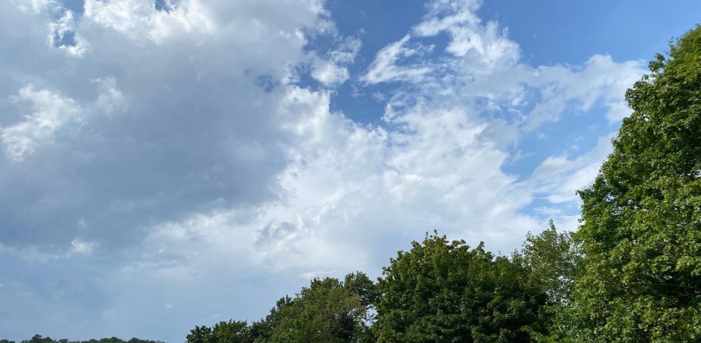
Mostly cloudy today with seasonably cool temperatures! Light rain likely tomorrow morning! Rain developing in the afternoon on New Year’s Day ending Saturday morning possibly mixed with sleet at times! Another chance of rain Sunday afternoon and evening!


Good morning!

Skies are partly cloudy early on this Wednesday morning and temperatures range from the mid 20s in Clifton down to the upper teens further inland, winds are mainly calm.

CLIFTON’S ALMANAC FOR DECEMBER 30TH:

AVERAGE HIGH: 38 AVERAGE LOW: 21

RECORD HIGH: 61 – 1984 RECORD LOW: 2 -1987

YESTERDAY’S HIGH: 40 LOW 26 PRECIPITATION: NONE

High pressure over us this morning will move offshore and a southerly flow will develop along with mostly cloudy skies, temperatures will be near 40 degrees with much less wind than yesterday.

A weak cold front will cross the area tomorrow morning accompanied by some light rain from around 3-9 a.m. Rainfall amounts will be light mainly under a tenth of an inch.

Dry weather is now expected from tomorrow afternoon through the morning on New Year’s Day.

A storm system developing over the Gulf states will cause rain to develop during the afternoon on New Year’s Day and continue into Saturday morning possibly mixed with sleet. Some freezing rain is possible over areas further inland.

A coastal storm may be close enough to give us a chance of rain Sunday afternoon and night.

Fair weather is expected for early next week with temperatures a little above normal.

THE FORECAST:

TODAY – DEC 30 – Mostly cloudy, high near 40.

TONIGHT – Light rain likely mainly after 3 a.m., low in the mid 30s.

THURSDAY – DEC 31 – Mostly cloudy with a chance of rain mainly before 9 a.m., high in the upper 40s.

NEW YEAR’S DAY – Rain developing in the afternoon and continued into the night possibly mixed with sleet, high near 40.

SATURDAY – JAN 2 – Chance of rain before 10 a.m. then becoming partly sunny and mild, high in the mid 50s.

SUNDAY – JAN 3 – Partly sunny with a chance of rain in the afternoon and evening, high in the mid 40s.

MONDAY – JAN 4 – Mostly sunny, high in the mid 40s.

TUESDAY – JAN 5 – Mostly sunny, high in the mid 40s.

MARINE FORECAST: A small craft advisory will be in effect from 4 p.m. this afternoon until 1 p.m. Thursday afternoon for southwest winds gusting to 30 knots, seas 3-6 feet.

OUTLOOK – No advisories expected for Thursday afternoon through Friday morning; small craft advisories probable from from Friday afternoon into Saturday morning; no advisories expected Saturday afternoon through Sunday night.

Have a nice day and stay safe and healthy!

Mostly sunny, breezy and colder today! Mostly sunny and seasonably cold on Wednesday with less wind! Chance of showers on Thursday! Rain likely on New Year’s Day possibly beginning as sleet and freezing rain!


Good morning!

Skies are partly cloudy early on this Tuesday morning and temperatures range from the mid 30s in Clifton down to the upper 20s further inland, winds are light from the west.

CLIFTON’S ALMANAC FOR DECEMBER 29TH:

AVERAGE HIGH: 38 AVERAGE LOW: 22

RECORD HIGH: 66 – 1984 RECORD LOW: 7 – 1987

YESTERDAY’S HIGH: 53 LOW: 29 PRECIPITATION: TRACE

Today will be a mostly sunny day as high pressure builds into our area. Temperatures will only rise a bit from our early morning lows with highs in the upper 30s. Winds will become gusty which will make it feel colder.

With high pressure over us tonight temperatures will fall to near 20 by daybreak on Wednesday. Skies will be sunny on Wednesday with highs similar to today’s but with much less wind.

A rather big change with the forecast for New Year’s Eve as now we are only expecting a chance of showers with most of the day and night staying dry, temperatures will be milder.

New Year’s Day looks to be wet as a storm system developing along the Gulf states moves in our direction. The rain may start off as a mixture of sleet and freezing rain in the morning especially for the inland areas.

Rain is expected to end Saturday morning followed by clearing with mild temperatures.

Mainly dry with seasonably cold temperatures Sunday and Monday as high pressure builds into our area.

THE FORECAST:

TODAY – DEC 29 – Sunny and breezy, high in the upper 30s.

TONIGHT – Mostly clear, low near 20.

WEDNESDAY – DEC 30 – Mostly cloudy in the morning then becoming mostly sunny, high near 40.

THURSDAY – DEC 31 – Mostly cloudy with a chance of rain mainly in the morning, high in the upper 40s.

NEW YEAR’S DAY – Cloudy with rain likely possibly beginning as a mix or sleet and freezing rain, high in the low 40s.

SATURDAY – JAN 2 – Chance of morning showers then becoming partly sunny and mild, high in the mid 50s.

SUNDAY – JAN 3 – Mostly sunny, high in the mid 40s.

MONDAY – JAN 4 – Moslty sunny, high in the mid 40s.

MARINE FORECAST: A small craft advisory is in effect until 9 p.m. tonight for northwest winds gusting to 30 knots, seas 3-5 feet.

OUTLOOK – No advisories expected during the day on Wednesday; advisories expected for Wednesday night; advisories likely Thursday and Friday with some gale gusts Friday night; advisories still possible for Saturday.

Have a nice day and stay safe and healthy!

Becoming mostly sunny and mild today after early morning cloudiness and even a slight chance of sprinkles! Dry and colder Tuesday and Wednesday! Rain likely and mild Thursday afternoon through New Year’s Day!


Good morning!

Skies have become overcast early on this Monday morning and temperatures are around ten degrees milder than this time yesterday with readings ranging from the low 30s in Clifton down to the upper 20s further inland. Winds are calm or light southerly!

CLIFTON’S ALMANAC FOR DECEMBER 28TH:

AVERAGE HIGH: 39 AVERAGE LOW: 22

RECORD HIGH: 64 – 2008 RECORD LOW: 8 – 2017

YESTERDAY’S HIGH: 40 LOW: 32 PRECIPITATION: NONE

Today will start off cloudy with even a slight chance of some sprinkles this morning then it will become mostly sunny and mild. A weak cold front will cross our area this evening.

Dry weather is expected Tuesday and Wednesday as high pressure builds into our area, temperatures will be colder but only drop to seasonable levels.

A storm system will likely give us rain from late Thursday afternoon through New Year’s Day. As of now this system does not look as strong as the storms we had around Christmas with rainfall amounts of around an inch and although there will be gusty southerly winds it should not be as severe as our last storm.

At this point the weekend looks to be dry with mild temperatures on Saturday and then slightly cooler on Sunday.

THE FORECAST:

TODAY – DEC 28 – Mostly cloudy this morning then becoming mostly sunny, high in the upper 40s.

TONIGHT – Mostly clear, low near 30.

TUESDAY – DEC 29 – Sunny, breezy and colder, high in the upper 30s.

WEDNESDAY – DEC 30 – Partly sunny, high near 40.

THURSDAY – DEC 31 – Cloudy with a chance of showers, high in the low 50s.

NEW YEAR’S DAY – Cloudy with rain likely, high near 50.

SATURDAY – JAN 2 – Mostly sunny, high in the low 50s.

SUNDAY – JAN 3 – Mostly sunny, high in the mid 40s.

MARINE FORECAST: A small craft advisory is in effect until 6 p.m. Tuesday evening. Today – southwest winds to 25 knots, seas 3-5 feet.

OUTLOOK – No advisories expected Tuesday night through Wednesday night; advisories probable Thursday and Friday with some gales possible.

Have a nice day and stay safe and healthy!

Mostly sunny and slightly milder today! Partly sunny and mild on Monday! Dry and seasonably cold Tuesday and Wednesday! Another rain storm likely New Year’s Eve into New Year’s Day along with mild temperatures!


Good morning!

Skies are mostly clear early on this Sunday morning and temperatures are seasonably cold with readings ranging from the low 20s in Clifton down to the mid teens further inland, winds are calm or light westerly.

CLIFTON’S ALMANAC FOR DECEMBER 27TH:

AVERAGE HIGH: 39 AVERAGE LOW: 22

RECORD HIGH: 61 – 1973 RECORD LOW: 0 – 1989

YESTERDAY’S HIGH: 33 LOW: 22 PRECIPITATION: NONE

High pressure will give us a mostly sunny day today, temperatures will be slightly milder than yesterday with less wind.

A weak cold front will pass through the area on Monday and should come through dry, southwest winds will bring milder air into the region.

High pressure will give us dry and seasonably cold weather for Tuesday and Wednesday.

Another rain storm with mild temperatures is probable, mainly falling from around 9 p.m. New Year’s Eve until 3 p.m. on New Year’s Day. Heavy rain is possible again with 1-2 inches possible. Strong winds are also again possible.

THE FORECAST:

TODAY – DEC 27 – Sunny, high in the upper 30s.

TONIGHT – Mostly cloudy, low near 30

MONDAY – DEC 28 – Partly sunny, high in the upper 40s.

TUESDAY – DEC 29 – Sunny and breezy, high in the upper 30s.

WEDNESDAY – DEC 30 – Mostly sunny, high near 40.

THURSDAY – DEC 31 – Cloudy with a chance of rain by the afternoon, high in the mid 50s, rain likely at night.

NEW YEAR’S DAY – Mostly cloudy with rain likely, high in the low 50s.

SATRUDAY – JAN 2 – Mostly sunny, high in the mid 40s.

MARINE FORECAST: TODAY – West-northwest winds to 10 knots, seas 2-3 feet.

OUTLOOK – Small craft advisories probable Monday into the day on Tuesday; no advisories expected Tuesday night through Wednesday night; advisories again probable for Thursday.

Have a nice day and stay safe and healthy!

Mostly sunny, breezy and cold today! Continued sunny on Sunday with milder temperatures! Next chance of precipitation will be on New Year’s Eve with mild temperatures!


Good morning!

Skies are partly cloudy early on this Saturday morning and temperatures are around 35 degrees colder than this time yesterday, but actually normal for this time of year with readings ranging from the low 20s in Clifton down to the mid teens further inland, winds are a little brisk out of the west.

CLIFTON’S SUMMARY FOR DECEMBER 26TH:

AVERAGE HIGH: 40 AVERAGE LOW: 22

RECORD HIGH: 63 – 1982 RECORD LOW: 1 – 1983

YESTERDAY’S HIGH: 59 LOW: 26 PRECIPITATION: 1.10″ STORM TOTAL: 1.82″

The storm that gave us the rain has moved into eastern Canada as high pressure builds from the south and west giving our area a brisk westerly flow of cold air. Despite plenty of sunshine it will be chilly with highs only reaching to near freezing and with winds 10-15 mph will cause wind chills in the 20s.

More sunshine on Sunday and it will be slightly milder than today with less wind as the high pressure moves closer to our area.

Monday will be milder but a cold front is expected to cross the area Monday afternoon or evening and at this time no precipitation is expected with the front.

Dry weather should continue Tuesday and Wednesday with seasonably cold temperatures.

A strong frontal system is expected to move through the area Thursday into New Year’s Day with possibly another round of heavy rain and strong winds along with quite mild temperatures.

THE FORECAST:

TODAY – DEC 26 – Mostly sunny, high in the low 30s.

TONIGHT – Mostly clear, low in the low 20s.

SUNDAY – DEC 27 – Sunny, high near 40.

MONDAY – DEC 28 – Mostly cloudy, high near 50.

TUESDAY – DEC 29 – Sunny, high in the mid 30s.

WEDNESDAY – DEC 30 – Mostly sunny, high near 40.

THURSDAY – DEC 31 – Mostly cloudy with a chance of showers, high in the mid 50s.

NEW YEAR’S DAY – Mostly cloudy with showers likely, high in the low 50s.

MARINE FORECAST: A small craft advisory is in effect until 6 a.m. Sunday morning for westerly winds gusting to 30 knots, seas 6-9 feet.

OUTLOOK – No advisories expected Sunday and Monday; advisories likely during the day on Tuesday; no advisories expected Tuesday night through Wednesday.

Have a nice weekend and stay safe and healthy!