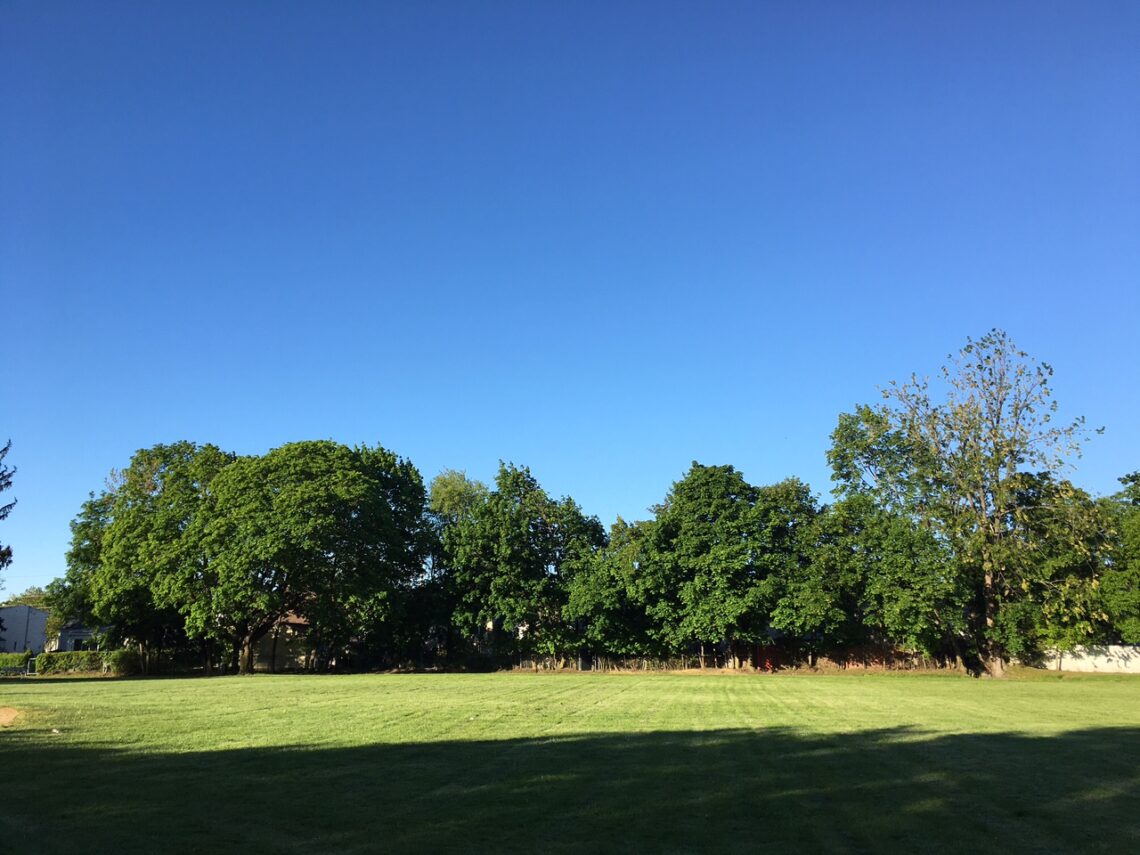
We have mostly clear skies at daybreak this morning, temperatures range from the upper 30s in the Clifton area to some upper 20s well inland and even some 20s in the New Jersey pinelands in the southern part of the state, winds are calm. I do not see any frost this morning in Clifton as the humidity may be too low but the growing season likely ended for the areas that dropped below freezing.
Today will be less windy and a little milder with temperatures reaching the 60 degree mark, skies will be partly sunny with more clouds as the day moves on.
Tonight will not be nearly as chilly as this morning as we will have cloudy skies and a southwest wind, there will be a chance of showers after midnight.
Tuesday will be cloudy with a chance of rain, rain will be more likely at night.
A slow moving low pressure area will likely cause more rain with cool temperatures Wednesday and Thursday.
Improving weather on Friday as the low moves away.
The weekend weather looks quite nice with dry conditions and mild temperatures.
THE FORECAST:
TODAY – Partly sunny, high near 60.
TONIGHT – Cloudy with a chance of showers after midnight, low in the upper 40s.
TUESDAY – Cloudy with a chance of showers, high in the upper 60s, rain likely at night.
WEDNESDAY – Cloudy with rain likely, high near 60.
THURSDAY – Cloudy with rain likely, high in the upper 50s.
FRIDAY – Partly sunny, high in the low 60s.
SATURDAY – Sunny, high in the mid 60s.
SUNDAY – Sunny, high in the mid 60s.
MARINE FORECAST: TODAY – Southwest winds to 13 knots, seas 2 feet.
OUTLOOK – Below advisory level conditions to continue on Tuesday with advisories possible Wednesday through Friday.
Have a good day!