Skies are mostly clear early on this Thursday morning and temperatures are similar to what we had yesterday morning ranging from the low 60s in the Clifton area to the mid 50s further inland, winds are light and the humidity continues to be low.
We will continue to enjoy warm weather with low humidity and plenty of sunshine through Saturday, daytime highs will be in the mid 80s each day.
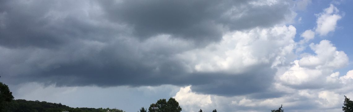
A frontal system moving into the area will give us the next chance of showers Sunday into Monday, at this time it doesn’t appear that we will have any widespread rainfall instead just some afternoon and evening showers, it will become more humid but not oppressive as we had earlier this week.
At this time most of the rest of next week will be dry and hot with moderate humidity.
THE FORECAST:
TODAY – Sunny, high in the mid 80s.
TONIGHT – Mostly clear, low around 60.
FRIDAY – Sunny, high in the upper 80s.
SATURDAY – Sunny, high in the upper 80s.
SUNDAY – Partly sunny, chance of an afternoon or evening shower and thunderstorm, more humid, high in the upper 80s.
MONDAY – Partly sunny with a chance of an afternoon or evening shower and thunderstorm, high in the upper 80s.
TUESDAY – Mostly sunny, high in the upper 80s.
WEDNESDAY – Mostly sunny and hot, high in the low 90s.
MARINE FORECAST: TODAY – North-northwest wind to 9 knots, seas 1 foot. Water temperatures are in the low 70s.
OUTLOOK – No advisories expected through Monday.
Have a good day!