Skies are mostly clear early on this Wednesday morning and temperatures are cooler than they have been lately ranging from the low 60s here in Clifton to the mid 50s further inland, winds are light and there is some patchy fog in some inland areas.
High pressure will be in control of our weather today through Friday with plenty of sunshine and comfortable temperatures and humidity.
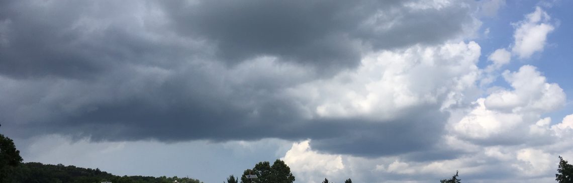
Saturday will be quite warm and humid as a cold front and as a cold front swings through the area we will have a chance of showers and thunderstorms.
High pressure will again build into the area on Sunday with more nice summer weather that will continue through at least the middle of next week.
There are some indications that we will have more heat at the end of next week.
THE FORECAST:
TODAY – Sunny, high near 80.
TONIGHT – Mostly clear, low in the mid 60s.
THURSDAY – Sunny, high in the low 80s.
FRIDAY – Mostly sunny, high in the mid 80s.
SATURDAY – Partly sunny with a chance of showers and thunderstorms, humid with highs in the upper 80s.
SUNDAY – Sunny and less humid, high in the mid 80s.
MONDAY – Sunny, high in the mid 80s.
TUESDAY – Sunny, high in the upper 80s.
MARINE FORECAST: TODAY – East-northeast wind to 10 knots, seas 2-3 feet. Water temperatures are in the mid 70s.
OUTLOOK – No advisories expected Thursday through Sunday.
JULY 2016 CLIMATE SUMMARY: July average temperature was 78.0 degrees which was 2.5 degrees above normal, this was the seventh straight July with above normal temperatures. Precipitation was above normal with 6.24 inches with about half that about falling in the last three days of the month, some inland areas had about twice that amount.
Have a good day!