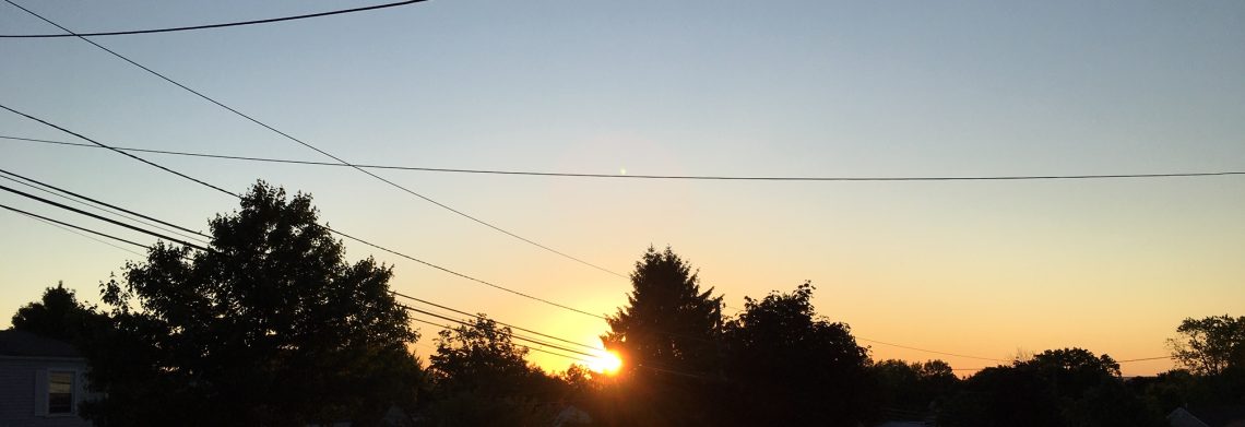
SATURDAY OCTOBER 7, 2017 5:55 A.M.
Another warm and rather muggy morning on this Saturday with temperatures ranging from the mid 60s in the Clifton area down to the mid 50s further inland, skies are mostly cloudy and some areas have patchy fog, winds are mainly calm.
Today will be warm again with increasing humidity, we should have mostly sunny skies after a mostly cloudy morning, highs will be in the 80s.
A weak disturbance will give us a chance of showers on Sunday, precipitation amounts will be generally less than 1/4 of an inch.
The remnants of Hurricane Nate will cause tropical rains on Monday, it will continue to be warm and humid, rainfall amounts may total 1-3 inches.
Generally above normal temperatures Tuesday through Friday, most of the time it will be dry but there is a low chance of showers Tuesday morning and again on Wednesday night.
THE FORECAST:
TODAY – OCT 7 – Becoming mostly sunny after early morning cloudiness, high in the low 80s.
TONIGHT – Increasing cloudiness, low in the upper 60s.
SUNDAY – OCT 8 – Mostly cloudy with a chance of showers and possibly a thunderstorm, high near 80.
COLUMBUS DAY – OCT 9 – Cloudy with showers and possibly a thunderstorm, rain may be heavy at times, high in the upper 70s.
TUESDAY – OCT 10 – Mostly cloudy with a chance of morning showers, high in the low 80s.
WEDNESDAY – OCT 11 – Partly sunny, high in the low 70s, chance of showers at night.
THURSDAY – OCT 12 – Partly sunny, high in the upper 60s.
FRIDAY – OCT 13 – Partly sunny, high in the low 70s.
MARINE FORECAST: TODAY – Southerly winds to 15 knots, seas 1-2 feet.
OUTLOOK – A small craft advisory is posted effective from 6 a.m. Sunday morning until 6 p.m. Sunday evening. Advisories likely on Monday; no advisories expected Monday and Tuesday.
TROPICS: Nate has been upgraded to a hurricane with top winds of 80 mph, the storm is about 325 miles south of the Gulf coast of Mississippi and is expected to come onshore near the Mississippi and Alabama border as a category 1 or 2 hurricane. The remnants of Nate will then move northeast to near our area on Monday.
Have a nice weekend!
