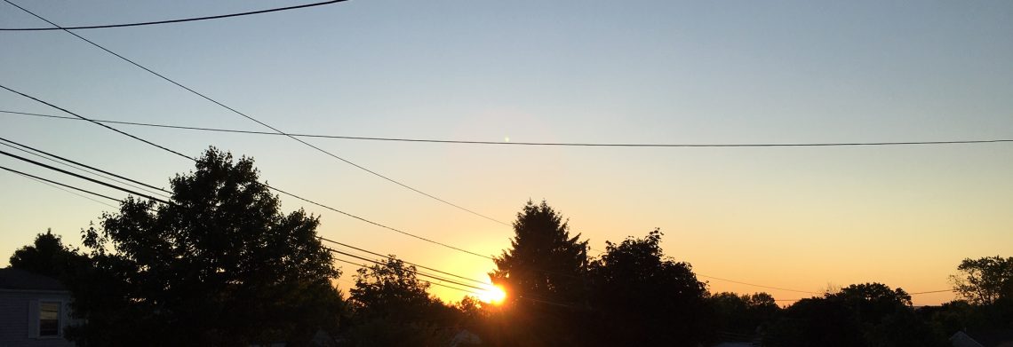
Good morning!
Skies are partly cloudy early on this Friday morning and temperatures continue to be unseasonably mild with readings ranging from near 50 in Clifton down to the mid 30s further inland, winds are mainly calm.
CLIFTON’S ALMANAC FOR NOVEMBER 27TH:
AVERAGE HIGH: 50 AVERAGE LOW: 32
RECORD HIGH: 66 – 2006 RECORD LOW: 18 – 1994
YESTERDAY’S HIGH: 65 LOW: 49 PRECIPITATION: NONE
Yesterday in Clifton the 65 degree temperature was the second warmest Thanksgiving since my records began in 1973, 66 degrees was the warmest set in 2007.
Today we will have a mix of clouds and sunshine as a weak cold front approaches from the west, temperatures will be mild again with highs near 60.
Dry weather to persist through the weekend with slightly cooler temperatures but still milder than normal as high pressure dominates.
A rather strong low pressure will develop to our west on Monday with a strong and moist south-southeast wind. Rain is expected to be heavy at times Monday afternoon through Monday night with 1 -2 inches of rain possible.
Some showers are possible on Tuesday with cooler temperatures.
Cool and dry weather is expected Wednesday and Thursday.
THE FORECAST:
TODAY – NOV 27 – Partly sunny, high near 60.
TONIGHT – Mostly cloudy, low in the low 40s.
SATURDAY – NOV 28 – Mostly sunny, high in the mid 50s.
SUNDAY – NOV 29 – Sunny, high in the mid 50s.
MONDAY – NOV 30 – Rain heavy at times in the afternoon and night, windsy, high near 60.
TUESDAY – DEC 1 – Mostly cloudy with a chance of rain, high in the low 50s.
WEDNESDAY – DEC 2 – Mostly sunny, high in the mid 40s.
THURSDAY – DEC 3 – Mostly sunny, high in the upper 40s.
MARINE FORECAST: TODAY – Variable winds less than 5 knots, seas 2 feet.
OUTLOOK – No advisories expected Saturday through Sunday night; gales possible on Monday; small craft advisories expected for Tuesday.
Have a nice day and stay safe and healthy!
