Skies are mostly clear early this Friday morning and it is warm once again as temperatures range from the low 70s in Clifton to the mid 60s further inland, winds are light and the humidity is moderate with dew points in the mid 60s.
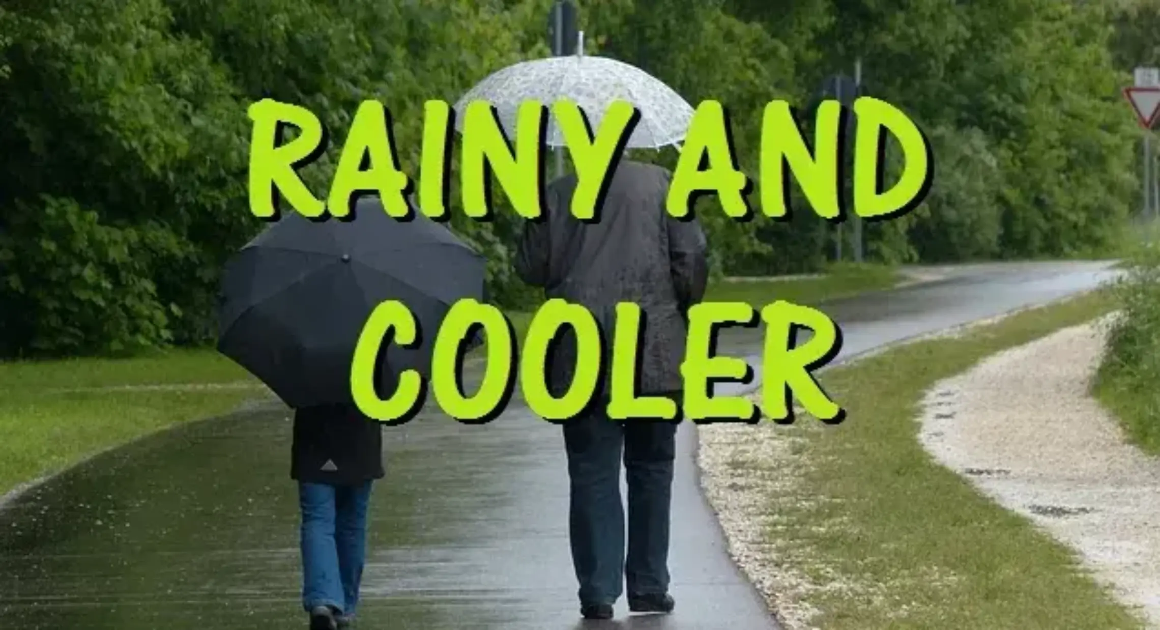
A cold front is now moving south of our area and today will not be as warm as the last few days and an onshore flow will develop along with an increase in cloud cover, humidity levels will slowly decrease as the day goes on, it will be breezy especially down in the shore areas.
Outstanding weather for the holiday weekend as high pressure takes control, Saturday will be seasonably warm with low humidity. Temperatures and humidity will slowly rise Sunday and on Labor Day, no rain is expected.
Another heat wave next week possibly not ending till around Friday as a front comes through. The dry pattern of the last few weeks will continue with only a chance of a shower with the front on Thursday.
THE FORECAST:
TODAY – Mostly cloudy, high in the low 80s.
TONIGHT – Partly cloudy, low in the low 60s.
SATURDAY – Sunny, high in the low 80s.
SUNDAY – Sunny, high in the mid 80s.
LABOR DAY – Sunny, high near 90.
TUESDAY – Sunny, high in the low 90s.
WEDNESDAY – Mostly sunny, high in the low 90s.
THURSDAY – Partly sunny with a chance of showers and thunderstorms, high near 90.
MARINE FORECAST: Small craft advisory is in effect till 6 p.m on Saturday for east-northeast wind with gusts to 30 knots and seas 4-6 feet. Water temperatures are in the low 70s.
OUTLOOK – No advisories expected Sunday through Tuesday.
Have a good day!