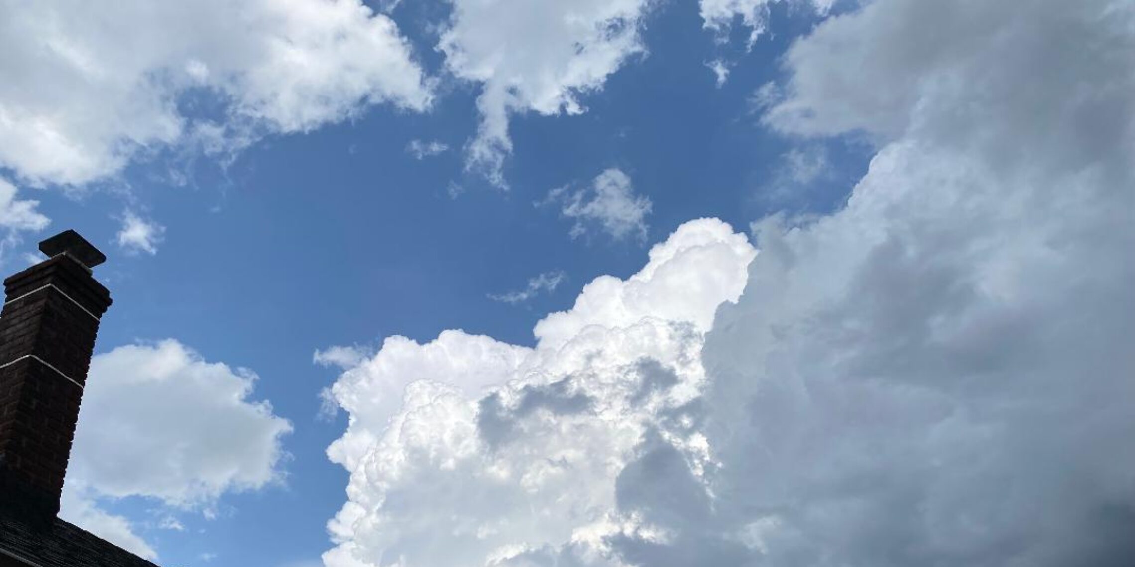
Finally some sunshine today with seasonably mild temperatures! More rain Monday night through Wednesday morning! Warmer at the end of the week!


SUNDAY  APRIL 23, 2017  5:52 A.M.

We have mostly cloudy skies early on this Sunday morning and temperatures range from the mid 40s in the Clifton area to some mid 30s further inland, winds are light northerly.

High pressure will build into the area today and we will see some sunshine and milder temperatures.

Most of Monday will be dry but a low pressure will move northward from the Carolina coast causing rain from Monday night into Wednesday morning with about an inch of rainfall expected, temperatures with the clouds and rain will be on the cool side.

Warmer and mainly dry conditions Thursday into next weekend.


THE FORECAST:

TODAY – APR 23 – Sunny, high in the mid 60s.

TONIGHT – Partly cloudy, low in the mid 40s.

MONDAY – APR 24 – Becoming cloudy, high in the low 60s, chance of rain after 9 p.m.

TUESDAY – APR 25 – Rain, high in the mid 50s.

WEDNESDAY – APR 26 – Mostly cloudy with a chance of rain in the morning, high in the upper 60s.

THURSDAY – APR 27 – Partly sunny and warmer, high in the upper 70s.

FRIDAY – APR 28 – Mostly sunny, high in the upper 70s.

SATURDAY – Partly sunny, high in the mid 70s.


MARINE FORECAST:  TODAY – Northerly winds to 12 knots, seas 1-2 feet.

OUTLOOK – A small craft advisory is posted from noon on Monday till 6 a.m on Tuesday; small craft advisories likely with possible gales on Tuesday; small craft advisories possible for high seas Wednesday into Thursday.


Have a nice weekend!

Cloudy and cool today with a shower possible! Sunshine and milder on Sunday! Unsettled weather early next week!


SATURDAY  APRIL 22, 2017  5:50 A.M.

Our area has overcast skies early on this Saturday morning and there is little spread in temperatures with readings around 50 in the Clifton area with upper 40s inland, winds are light northerly.

Today we will continue to have cloudy skies and it will be cool, there is a low chance of some light rain during the day mostly falling to our south.

We should see some breaks in the clouds on Sunday which will give the area slightly milder temperatures.

A weak coastal low pressure will be moving up the coast Monday and Tuesday giving us more clouds and cool temperatures along with rain, the heaviest rain should fall Monday night into Tuesday.

Dry conditions are expected Wednesday through the end of next week along with warmer temperatures.


THE FORECAST:

TODAY – APR 22 – Cloudy with a chance of light rain before 3 p.m, high around 60.

TONIGHT – Cloudy early then become partly cloudy, low in the low 40s.

SUNDAY – APR 23 – Mostly sunny, high in the mid 60s.

MONDAY – APR 24 – Cloudy with a chance of rain, high near 60.

TUESDAY – APR 25 – Cloudy with a chance of rain, high in the upper 50s.

WEDNESDAY – APR 26 – Partly sunny, high near 70.

THURSDAY – APR 27 – Partly sunny, high in the mid 70s.

FRIDAY – APR 28 – Mostly sunny, high in the mid 70s.


MARINE FORECAST:  TODAY – North wind to 9 knots, seas 2 feet.

OUTLOOK – No advisories expected during the day on Sunday,  possible small craft conditions on Sunday night; advisories likely Monday and Tuesday with small craft advisories possibly continuing into Wednesday due to high seas.


Have a Happy Earth Day!

Rain mostly falling this morning! Weekend now looks to be dry with seasonable temperatures! Unsettled weather early next week!


FRIDAY  APRIL 21, 2017  5:53 A.M.

Our area has cloudy conditions early this Friday morning and some rain will be moving in from the west shortly, winds are mostly easterly around 5-10 mph, temperatures are near 50 in the Clifton area to the mid 40s further inland.

A low pressure system will be moving through the area today most of the rain with this system will fall this morning with drying condition this afternoon with a low chance of a scattered shower moving through, temperatures will be cool with an onshore flow.

It now looks that the weekend will remain dry with seasonable temperatures.

Unsettled weather Monday through Wednesday morning as a weak low pressure area will move slowly off the coast, temperatures will be seasonably cool through the period.

Much warmer air is likely at the end of next week into next weekend.


THE FORECAST:

TODAY – APR 21  – Showers this morning with an isolated shower this afternoon, high near 60.

TONIGHT – Mostly cloudy, low in the upper 40s.

SATURDAY – APR 22 – Mostly sunny, high in the mid 60s.

SUNDAY – APR 23 – Mostly cloudy, high in the low 60s.

MONDAY – APR 24 – Cloudy with a chance of light rain, high in the low 60s.

TUESDAY – APR 25 – Cloudy with a chance of showers, high in the upper 50s.

WEDNESDAY – APR 26 – Mostly cloudy in the morning then becoming partly sunny, high in the low 70s.

THURSDAY – APR 27 – Partly sunny, high in the mid 70s.


MARINE FORECAST:  TODAY – East to southeast winds to 11 knots seas 2 feet.

OUTLOOK – No advisories expected Saturday and Sunday with small craft advisories possible Monday and Tuesday.


Have a nice day!

Not as cool today with morning showers! More showers late tonight into Friday morning!


THURSDAY  APRIL 20, 2017  5:53 A.M.

We have cloudy conditions across the area  this morning and temperatures are on the mild side, ranging from around 50 in Clifton to the mid 40s inland; winds are mainly calm.  Some scattered showers are falling in parts of the area.

A weak front will be moving into the area today, causing mainly cloudy skies with some light showers this morning.  Some breaks in the clouds are possible this afternoon.

A stronger front is expected to cause more showers and possibly a thunderstorm, late tonight into Friday morning, with drying conditions in the afternoon temperatures will be seasonably mild.

Saturday should be the best day of the weekend but another low pressure system may cause more showers on Sunday.  Saturday will be seasonably mild but it will be cooler on Sunday due to clouds and an onshore flow.

Dry weather with seasonable temperatures early next week.


THE FORECAST:

TODAY – APR 20 – Cloudy with some light rain this morning, high in the upper 60s

TONIGHT – Cloudy with a chance of an evening shower, showers and a possible thunderstorm after midnight, low in the upper 40s.

FRIDAY – APR 21 – Mostly cloudy with showers and possibly a thunderstorm in the morning and a chance of a shower in the afternoon, high in the mid 60s.

SATURDAY – APR 22 – Partly sunny, high in the mid 60s.

SUNDAY – APR 23 – Cloudy with a chance of light rain, high in the upper 50s.

MONDAY – APR 24 – Mostly cloudy in the morning then becoming partly sunny in the afternoon, high in the mid 60s.

TUESDAY – APR 25 – Mostly sunny, high in the low 60s.

WEDNESDAY – APR 26 – Partly sunny, high near 70.


MARINE FORECAST:  TODAY – Light an variable winds, seas 3 feet.

OUTLOOK – No advisories expected Friday through Sunday with possible small craft advisories for high seas on Monday.


Have a happy 4/20!

Mostly cloudy and cool today! Showers late tonight into Thursday morning and again Thursday night into Friday morning!


WEDNESDAY  APRIL 19, 2017   5:55 A.M.

Skies are mostly cloudy early on this Wednesday morning and temperatures range from the mid 40s in the Clifton area to near 40 further inland, winds are mostly easterly around 5 mph.

Today we will have mostly cloudy to cloudy skies; temperatures with the clouds and an onshore wind will be cool with highs mostly in the 50s.

A weak warm front will be approaching the area tonight and we will have a chance of mostly light showers from after midnight to around noon on Thursday. There will be a break in the rain during Thursday afternoon and evening, but more showers and possibly some thunderstorms from late Thursday night into Friday morning.

We should see clearing Friday afternoon with milder temperatures.

High pressure will give us a nice day on Saturday.  Another low pressure system will likely give us more rain on Sunday.

Early next week look to be mostly cloudy and cool.


THE FORECAST:

TODAY – APR 19 – Becoming cloudy, cool, high in the mid 50s.

TONIGHT – Cloudy with showers likely after midnight, low around 50.

THURSDAY – APR 20 – Mostly cloudy with showers likely mainly before noon, high in the upper 60s, showers and thunderstorms likely late at night.

FRIDAY – APR 21 – Cloudy with showers and thunderstorms likely in the morning then becoming mostly sunny and milder, high in the low 70s.

SATURDAY – APR 22 – Mostly sunny, high in the mid 60s.

SUNDAY – APR 23 – Cloudy with rain likely mainly in the afternoon, cool with highs in the mid 50s.

MONDAY – APR 24 – Mostly cloudy, high in the mid 60s.

TUESDAY – APR 25 – Mostly cloudy, high in the low 60s.


MARINE FORECAST:  TODAY – Southeast wind to 14 knots, seas 3 feet.

OUTLOOK – No advisories expected Thursday through Saturday with small craft conditions expected on Sunday.


Have a nice day!