Dry and seasonably cool today! Warmer and more humid with a chance of showers Monday and Tuesday!


Skies are partly cloudy early this morning and temperature here in Clifton dropped to 51 degrees which is the coolest temperature of the season, readings in some of the colder areas have fallen to the low 40s, winds are light.

Today we will have mostly sunny conditions with high temperatures similar to yesterday but with less of a breeze.

We will see an increase of clouds this evening hopefully we will be able to see some of the total eclipse of the supermoon tonight.

Warmer and more humid Monday into Tuesday with a chance of showers both days as a cold front approaches the area.

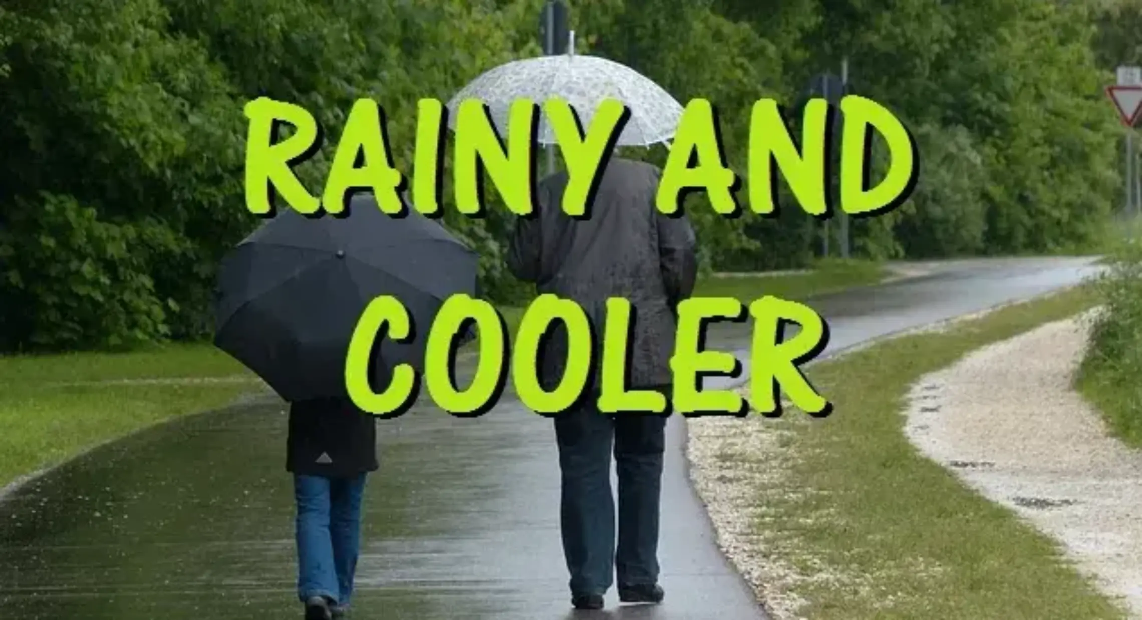
The cold front will cross the area on Wednesday with cooler and less humid conditions expected.

It will be chilly Thursday through the start of next weekend, there are some indications that a low pressure may develop to give us rain but at this time we will keep a dry forecast.


THE FORECAST:

TODAY – Mostly sunny, high in the low 70s.

TONIGHT – Mostly cloudy, low in the low 60s.

MONDAY – Mostly cloudy warmer and more humid, chance of mainly afternoon and evening showers, high near 80.

TUESDAY – Mostly cloudy and humid with a chance of showers, high near 80.

WEDNESDAY – Partly sunny and cooler, high near 70.

THURSDAY – Partly sunny and cool, high in the mid 60s.

FRIDAY –  Partly sunny and cool, high in the mid 60s.

SATURDAY – Partly sunny and continued cool, high in the upper 60s.


MARINE FORECAST:  Small craft advisory is in effect till 6 a.m. on Tuesday for easterly winds gusting to 30 knots, seas 6-9 feet.

OUTLOOK – Small craft advisories should continue on Tuesday and are possible Wednesday and Thursday.


Have a good day!


Pleasantly cool and dry weather this weekend!


We have a high overcast sky early this Saturday morning and temperatures range from the upper 50s in Clifton to some upper 40s in the cooler suburbs, winds are light.

Today we filtered sunshine from high clouds, more cloudiness will be across southern areas of New Jersey, temperatures will be seasonable with highs in the low 70s.  Winds will be light inland but stronger along the beaches.  There is also a coastal flood advisory in effect for minor flooding along the Jersey shore.

Sunday will also feature considerable cloudiness with continued seasonable temperatures.   Strong high pressure to our north should keep any precipitation to our south.

Warmer and more humid air Monday and Tuesday along with a low chance of showers both days.

A cold front will cross the area Tuesday night followed by cooler and dry weather the rest of the week.


THE FORECAST:

TODAY – Partly sunny, high in the low 70s.

TONIGHT – Mostly cloudy, low in the mid 50s.

SUNDAY – Mostly cloudy, high in the low 70s.

MONDAY – Mostly cloudy and more humid with a chance of light rain, high in the upper 70s.

TUESDAY – Mostly cloudy and humid with a chance of showers, high near 80.

WEDNESDAY – Mostly cloudy, cooler and less humid, high in the low 70s.

THURSDAY – Partly sunny, high in the upper 60s.

FRIDAY – Mostly sunny, high in the upper 60s.


MARINE FORECAST:  Small craft advisory is in effect till 6 a.m on Monday for east-northeast wind gusting to 30 knots, seas 7-10 feet.

OUTLOOK – Advisories possibly will be continued through Wednesday.


Have a good day!

Dry with near seasonable temperatures today through the weekend!


Skies are partly cloudy early this Friday morning and temperatures range from near 60 in Clifton to some upper 40s in the inland cooler areas, winds are light.

Today will be a mostly sunny day, temperatures will be a little lower than the last couple of days but still a couple of degrees above normal.

Dry weather will continue over the weekend, Saturday will be mostly sunny but we should see an increase of clouds on Sunday, it will be windy along the coast as the pressure gradient between high pressure over New England and low pressure off the southeast coast tightens.  Temperatures will be seasonable.

The best chance of rain will be on Monday as the system to our south brushes our area, not expected much in rain amounts as the precipitation if it does occur will only be light rain or drizzle.

Warmer Tuesday and Wednesday.

Cooler later next week but our dry pattern should continue.  Our area is now in a moderate drought and a drought watch has been issued for most of New Jersey.


THE FORECAST:

TODAY – Mostly sunny, high in the mid 70s.

TONIGHT – Partly cloudy, low in the mid 50s.

SATURDAY – Mostly sunny, high in the low 70s.

SUNDAY – Mostly cloudy, high in the low 70s.

MONDAY – Mostly cloudy with a chance of light rain, high in the mid 70s.

TUESDAY – Mostly sunny, high in the low 80s.

WEDNESDAY – Partly sunny, high near 80.

THURSDAY – Partly sunny, high in the low 70s.


MARINE FORECAST:  Small craft advisory is in effect till 6 p.m. on Sunday for east-northeast wind to 30 knots, seas 5-8 feet.

OUTLOOK – Small craft advisory likely to be extended into Monday and possibly into Tuesday for high seas.


Have a good day!

Pleasantly warm for the first full day of autumn! A little cooler but continued dry Friday through the weekend!


Skies are clear early this Thursday morning and temperatures range from the upper 50s here in Clifton to some low 40s in some of the cooler inland valleys, winds are light northerly.

Today we will again enjoy plenty of sunshine as high pressure continues to control our weather, daytime highs will be similar to Wednesday reaching near 80 degrees, humidity will also continue to be comfortable.

The high pressure will give us fair but with somewhat cooler temperatures Friday through the weekend, it will be breezy especially in shore areas.

The low pressure that has been off the southeast coast may move close enough to give us a low chance of showers on Monday.

Warm Tuesday and Wednesday with increasing humidity and there is another low chance of showers on Wednesday as a cold front crosses the area.


THE FORECAST:

TODAY – Sunny, high in the low 80s.

TONIGHT – Mostly clear, low around 60.

FRIDAY – Sunny, high in the mid 70s.

SATURDAY – Partly sunny, high in the mid 70s.

SUNDAY – Partly sunny, high in the low 70s.

MONDAY – Partly sunny with a chance of light rain, high in the upper 70s.

TUESDAY – Mostly sunny, high near 80.

WEDNESDAY – Partly sunny with a chance of a shower, high near 80.


MARINE FORECAST:  Small craft advisory is in effect through 6 p.m. on Friday for northeast winds gusting to 30 knots, seas 4-7 feet.

OUTLOOK – Small craft advisories will likely be needed into early next week.


Have a good day!

Dry and warm day for the first day of autumn!


Welcome to autumn which began at 4:21 a.m.  Skies this morning are mostly clear with temperatures ranging from the mid 50s in Clifton to the mid 40s in the colder suburbs, winds are light.

Today we will see more sunshine than the last couple of days and it will be warm with high temperatures approaching the 80 degree mark, humidity will be low.

The warm and dry weather will continue on Thursday with highs again around 80.

More seasonable temperatures Friday through the weekend and we should remain dry.

Warmer again early next week, there will be a disturbance off the southeast coast at this time it looks to stay too far to our south to give us any needed precipitation.


THE FORECAST:

TODAY – Sunny, high near 80.

TONIGHT – Clear, low in the mid 50s.

THURSDAY – Sunny, high near 80.

FRIDAY – Mostly sunny, high in the mid 70s.

SATURDAY – Mostly sunny, high in the mid 70s.

SUNDAY – Mostly sunny, high in the low 70s.

MONDAY – Partly sunny, high in the upper 70s.

TUESDAY – Mostly sunny, high near 80.


MARINE FORECAST:  Small craft advisory in effect till 6 p.m. on Thursday for northeast winds gusting to 30 knots, seas 3-6 feet.

OUTLOOK – Small craft advisories likely to be needed through the weekend.


Have a good day!