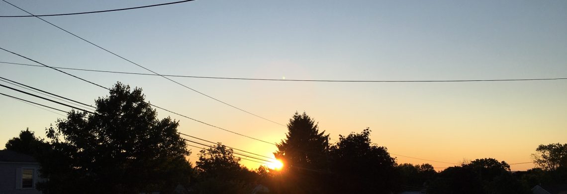
Skies are mostly clear early this Wednesday morning but there is some patchy fog in some areas, temperatures range from the low 50s in the Clifton area to some low 40s further inland, winds are nearly calm.
Today we will have an increase in clouds as high pressure moves off the New England coast and low pressure approaches from the southwest, light rain or drizzle may make it into our area by tonight.
An upper level through of low pressure just to our west will cause unsettled conditions through the weekend, there will be chances of rain throughout this period with the heaviest rain falling tomorrow night into Friday morning, it will be breezy, daytime temperatures will be below normal but low temperatures will be above normal.
Finally we should see improving conditions earl next week with seasonably mild temperatures.
THE FORECAST:
TODAY – Increasing cloudiness, high in the low 70s
TONIGHT – Cloudy with a chance of light rain or drizzle, low in the upper 50s.
THURSDAY – Cloudy with rain likely, breezy, high in the mid 60s.
FRIDAY – Cloudy with rain, breezy, high in the mid 60s.
SATURDAY – Cloudy with rain likely, high in the upper 60s.
SUNDAY – Mostly cloudy with a chance of rain, high in the low 70s
MONDAY – Partly sunny, change of a shower, high in the mid 70s.
TUESDAY – Mostly sunny, high in the low 70s.
MARINE FORECAST – TODAY – Small craft advisory will be in effect from 1 p.m. today till 6 a.m. on Thursday for east winds to 30 knots, seas building to 4-6 feet.
OUTLOOK – A Gale watch is issued from 6 a.m. Thursday to 6 a.m. on Friday. Small craft advisories likely Friday night into Saturday, no advisories expected Saturday night into Sunday.
TROPICS – The tropical wave is now about 100 miles east of Barbados and is expected to cross the island this afternoon and possibly become Tropical storm Matthew this afternoon, conditions this morning are mainly just cloudy with some patches of blue skies with very little wind. The computer models are indicating the storm to move up the east coast and possibly affect our area late next week.
Have a good day!
