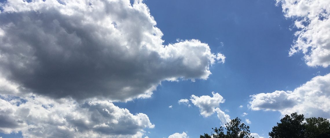
Skies are mostly clear early on this Thursday morning and temperatures range from near 50 in the Clifton area to the low 40s further inland, winds are nearly calm.
High pressure will be in control of our weather today and tomorrow with mostly sunny days and temperatures in the mild 70s.
A cold front will cross the area Saturday night giving us a chance of showers Saturday afternoon and evening, temperatures will continue to be mild on Saturday but turn cooler on Sunday.
High pressure will then build into the area Monday and be with us through Wednesday, temperatures will start off below normal but rise to near normal by Wednesday.
THE FORECAST:
TODAY- Sunny, high in the mid 70s.
TONIGHT – Clear, low in the low 50s.
FRIDAY – Sunny, high in the mid 70s.
SATURDAY – Mostly cloudy with a chance of showers mainly after 2 p.m., high in the low 70s.
SUNDAY – Sunny, high in the upper 60s.
COLUMBUS DAY – Sunny, high in the mid 60s.
TUESDAY – Sunny, high in the upper 60s.
WEDNESDAY – Partly sunny, high near 70.
MARINE FORECAST: Small craft advisories in effect till 8 p.m. this evening for high seas, winds northeast to 9 knots, seas 4-6 feet.
OUTLOOK – Small craft advisories likely Friday through Monday.
TROPICS: Dangerous hurricane Matthew has intensified just south of Nassau in the Bahamas with top winds up to 125 mph, Matthew is expected to intensify further as it moves through the northwestern Bahamas and then toward the Florida’s east coast by tonight, the storm is then expected to parallel the east coast of Florida reaching the South Carolina coast by Saturday night and then move further offshore. A hurricane of this magnitude has never affected the entire east coast of Florida in recorded history. It is very difficult to forecast if and where the eye of the storm will be parallel to the coast, a track offshore will lessen the impacts but if the eye moves just inland it will cause major destruction to those areas.
Have a safe day!

Curt
Glad your hurricane experience was nothing like Haiti & the Bahamas are seeing… Shari’s sister & brother-in-law have lived in St Augustine for more than 50 yrs and we have been hit with more direct shots than they (which they always remind us) … hopefully they will pack up their cats and go visit John’s brother in Tallahassee… – but they have always been ‘ride out the storm people…”