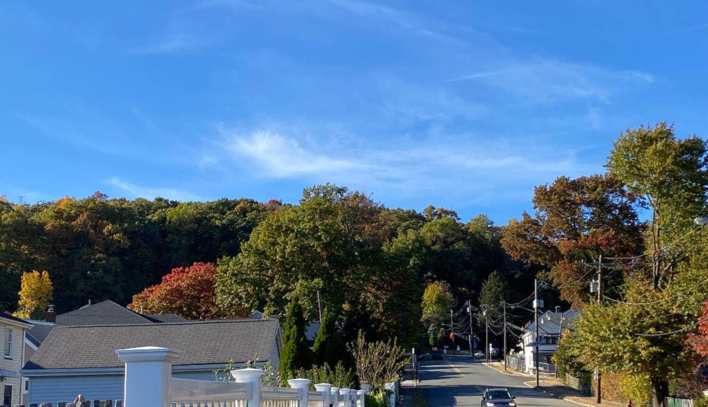
Some morning showers followed by sunshine and mild weather this afternoon! Periods of rain or showers from late Sunday through Wednesday!


SATURDAY  JUNE 3, 2017  5:51 A.M.

Skies have become mostly cloudy early on this Saturday morning and there is an area of showers moving into western parts of the area,. Temperatures range from the mid 50s in the Clifton area to the low 40s in some inland spots, winds are light.

A weak cold front will cause some early showers followed by sunshine by this afternoon; with the high sun angle this time of year temperatures will rise into the 70s.

Increasing clouds on Sunday with a chance of rain in the afternoon becoming more likely at night; temperatures with the cloud cover will be slightly below normal.

Unsettled weather Monday through Wednesday as an upper level low pressure and surface lows move slowly through the area.  Monday has the best likelihood of widespread showers with a chance of showers lingering Tuesday and Wednesday.  Temperatures will be near normal on Monday but below normal Tuesday and Wednesday.

Thursday should be a nice day with plenty of sunshine and milder temperatures.   Another cold front may cause a shower on Friday.


THE FORECAST:

TODAY – JUN 3 – Chance of light rain before 11 a.m. then becoming sunny, high in the upper 70s.

TONIGHT – Mostly clear, low in the mid 50s.

SUNDAY – JUN 4 – Increasing cloudiness with a chance of rain after 2 p.m., high in the mid 70s, showers and thunderstorms likely at night.

MONDAY – JUN 5  Cloudy with rain likely and possible thunderstorms, high in the upper 70s.

TUESDAY – JUN 6 – Mostly cloudy with a chance of showers, high in the upper 60s.

WEDNESDAY – JUN 7 – Mostly cloudy with a chance of showers, high near 70.

THURSDAY – JUN 8 – Partly sunny, high in the mid 70s.

FRIDAY – JUN 9 – Partly sunny with a chance of showers, high in the upper 70s.


MARINE FORECAST:  TODAY – West-southwest wind to 12 knots, seas 1 foot.

OUTLOOK – No advisories expected during the day on Sunday; possible small craft advisories Sunday night through the day on Monday; no advisories expected Monday night through Wednesday.


Have a good weekend!

Pleasantly warm and mainly dry today and on Saturday! Rain likely developing late in the day on Sunday! Rain or showers likely Monday through Wednesday!


FRIDAY  JUNE 2, 2017  6:00 A.M.

We have partly cloudy skies early on this Friday morning, and temperatures range from the mid 50s in the Clifton area to some low to mid 40s in some inland spots; winds are light.

Today we will have mostly sunny conditions, there is a slight chance of an isolated shower this afternoon, but most areas will stay dry; temperatures will be seasonably warm.

Another nice day on Saturday as weak high pressure moves into the area giving us a mostly sunny day with continued seasonably mild temperatures.

An area of low pressure is expected to give us rain from late Sunday and persist through at least the middle of next week. Temperatures will be near normal Sunday and Monday, but drop to below normal Tuesday and Wednesday.


THE FORECAST:

TODAY – JUN 2 – Mostly sunny, high in the upper 70s.

TONIGHT – Partly cloudy, low in the low 50s.

SATURDAY – JUN 3 – Mostly sunny, high in the mid 70s.

SUNDAY – JUN 4 – Increasing cloudiness with a chance of showers and thunderstorms after 3 p.m., high in the low 70s.

MONDAY – JUN 5 – Cloudy with rain likely, high in the mid 70s.

TUESDAY – JUN 6 – Mostly cloudy and cool with a chance of showers, high in the mid 60s.

WEDNESDAY – JUN 7 – Mostly cloudy and cool with a chance of showers and thunderstorms, high in the upper 60s.

THURSDAY – JUN 8 – Partly sunny, high in the low 70s.


MARINE FORECAST –  TODAY – West winds to 10 knots, seas 3 feet.

OUTLOOK – No advisories expected on Saturday;  possible small craft conditions Sunday through Tuesday.


MAY 2017 CLIFTON’S CLIMATE SUMMARY:

This May the temperature averaged 1.5 degrees below normal making this the coolest May in 9 years and if it wasn’t for the impressive three day heat wave from May 17-19 we would probably have on of the coolest May’s on record.   The highest temperature was 95 degrees on the 18th while the lowest was 40 degrees recorded on the 8th.  Precipitation was above normal with 5.78″ falling.

Spring’s average temperature was near normal while the precipitation was above normal..  15.21″ of rain fell much more than the 8.37″ that fell during spring last year.


Have a nice day!

Sunny and warm today! Mild on Friday with a chance of afternoon and evening showers! Nice Saturday with rain developing on Sunday!


THURSDAY  JUNE 1, 2017  5:40 A.M.

We have partly cloudy skies early on this first day on June and temperatures range from the upper 50s in the Clifton area to the low 50s further inland; winds are mainly calm.

Today we should have plenty of sunshine and warm temperatures as readings reach the low 80s.  A weak cold front will cross the area this afternoon but it should come through dry.

Not quite as warm on Friday and we should see some afternoon and evening showers and thunderstorms as another front comes through the area.

Saturday and the first half of Sunday should be dry but a low pressure area is expected to give us some rain late Sunday.

The slow moving low pressure will give the area a good chance of rain with cooler temperatures Monday and Tuesday.


THE FORECAST:

TODAY – JUN 1 – Mostly sunny, high in the low 80s.

TONIGHT – Mostly clear, low in the mid 50s.

FRIDAY – JUN 2 – Partly sunny, chance of showers and thunderstorms mainly after 2 p.m., high in the mid 70s.

SATURDAY – JUN 3 – Mostly sunny, high in the upper 70s.

SUNDAY – JUN 4 – Partly sunny with a chance of rain in the afternoon, high in the low 70s, rain likely at night.

MONDAY – JUN 5 – Mostly cloudy with a chance of rain, high in the low 70s.

TUESDAY – JUN 6 – Mostly cloudy with a chance of rain, high in the mid 60s.

WEDNESDAY – JUN 7 – Partly sunny with a chance of a shower, high in the mid 70s.


MARINE FORECAST:  TODAY – Westerly winds to 12 knots, seas 1-2 feet.

OUTLOOK – No advisories expected Friday through the day on Sunday; possible small craft conditions Sunday night through Monday.


Have a nice day!

Milder today with some sun but also a chance of showers! Warm and pleasant on Thursday! Showers again possible on Friday!


WEDNESDAY  MAY 31, 2017  5:42 A.M.

Our area has cloudy skies early on this Wednesday morning and there is some dense fog along with drizzle or light rain. Temperatures range from the upper 50s in the Clifton area down to the low 50s further inland, winds are mainly calm.

Today will start off cloudy with drizzle and fog this morning, but we may see some sunshine by this afternoon. However a weak front may touch off some shower and thunderstorm activity later in the afternoon and evening; some of these storms may be accompanied by gusty winds and small hail; it will be warmer as high temperatures reach the 70s.

Tomorrow will be pleasantly warm with plenty of sunshine, some areas will see high temperatures in the low 80s.

Another cold front will give our area a chance of showers and thunderstorms on Friday.

The weekend will start off dry and warm but a low pressure and front to our south will give us a good chance of rain Sunday into the middle of next week. Temperatures will once again be below normal during this period.


THE FORECAST:

TODAY – MAY 31 – Cloudy this morning with fog and drizzle becoming partly sunny this afternoon with a chance of showers and thunderstorms, some of the storms may be accompanied by gusty winds and small hail, high in the mid 70s.

TONIGHT – Mostly cloudy with a chance of evening showers and thunderstorms, some storms may be accompanied by gusty winds, low in the upper 50s.

THURSDAY – JUN 1 – Mostly sunny and warm, high near 80.

FRIDAY – JUN 2 – Mostly sunny with a chance of afternoon and evening showers and thunderstorms, high in the upper 70s.

SATURDAY – JUN 3 – Mostly sunny, high in the upper 70s.

SUNDAY – JUN 4 – Mostly cloudy with a chance of showers, cooler, high in the upper 60s.

MONDAY – JUN 5 – Mostly cloudy with a chance of showers, high near 70.

TUESDAY – JUN 6 – Mostly cloudy with a chance of showers, high in the upper 60s.


MARINE FORECAST:  TODAY – Southerly winds to 7 knots, seas 2 feet.

OUTLOOK – No advisories expected Thursday through Sunday.


Have a nice day!

Another cloudy, cool and dreary day today! Milder on Wednesday but still with a chance of showers!


TUESDAY  MAY 30, 2017  5:56 A.M..

Skies are cloudy early on this Tuesday morning and there is some drizzle falling in parts of the are. Temperatures range from the mid 50s in the Clifton area to around 50 further inland, winds are mainly calm.

Today we will continue to have cloudy skies with some drizzle in the morning and some showers this evening as a weak frontal system moves through the area; temperatures will be cool once again with highs mainly in the low 60s, which is about 15 degrees below normal.

Tomorrow will be a mostly cloudy day with milder temperatures, however another front may touch off more showers and possibly thunderstorms in the afternoon and evening.

Thursday should be the nicest day of the week as high pressure builds into the area giving us plenty of sunshine and seasonably warm temperatures.

Unsettled weather from Friday through early next week as a front moves through the area on Friday and then becomes stationary just to our south with disturbances moving along the front. Showers are possible each day through Monday, temperatures will be above normal on Friday, near normal on the weekend and below normal on Monday.


THE FORECAST:

TODAY – MAY 30 – Cloudy with patchy drizzle this morning, high in the low 60s..

TONIGHT – Cloudy with showers likely, low in the upper 50s.

WEDNESDAY – MAY 31 – Mostly cloudy with a chance of afternoon and evening showers and thunderstorms, high in the mid 70s.

THURSDAY – JUN 1 – Mostly sunny, high in the upper 70s.

FRIDAY – JUN 2 – Partly sunny with a chance of afternoon and evening showers and thunderstorms, high in the upper 70s.

SATURDAY – JUN 3 – Partly sunny with a chance of showers and thunderstorms, high in the upper 70s.

SUNDAY – JUN 4 – Partly sunny with a chance of showers, high in the low 70s.

MONDAY – JUN 5 – Partly sunny in the morning, mostly cloudy in the afternoon with a chance of showers, high near 70.


MARINE FORECAST:  Small craft advisory in effect for high seas till noon today.  Today – Southeast wind to 20 knots, seas 3-5 feet.

OUTLOOK – No advisories expected Wednesday and Thursday;  possible small craft advisories on Friday; no advisories expected on Saturday.


Have a good day!